Quito

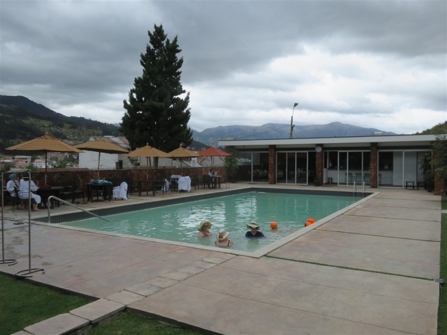
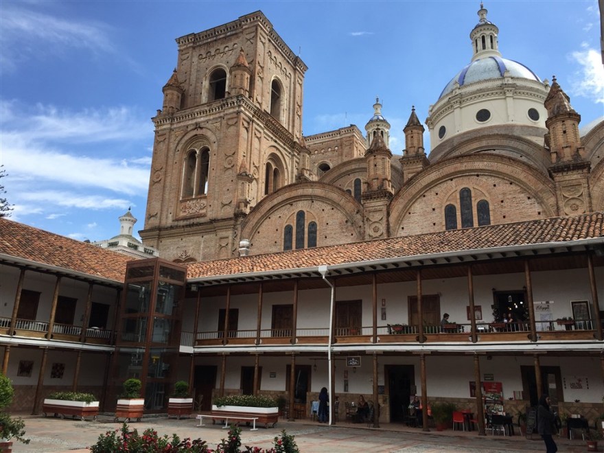
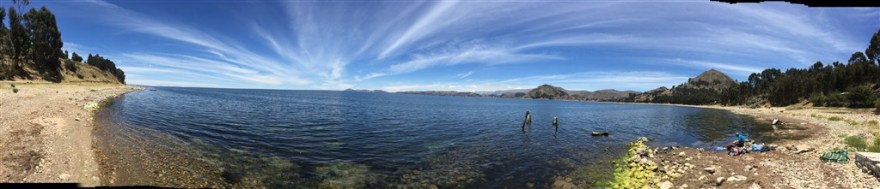
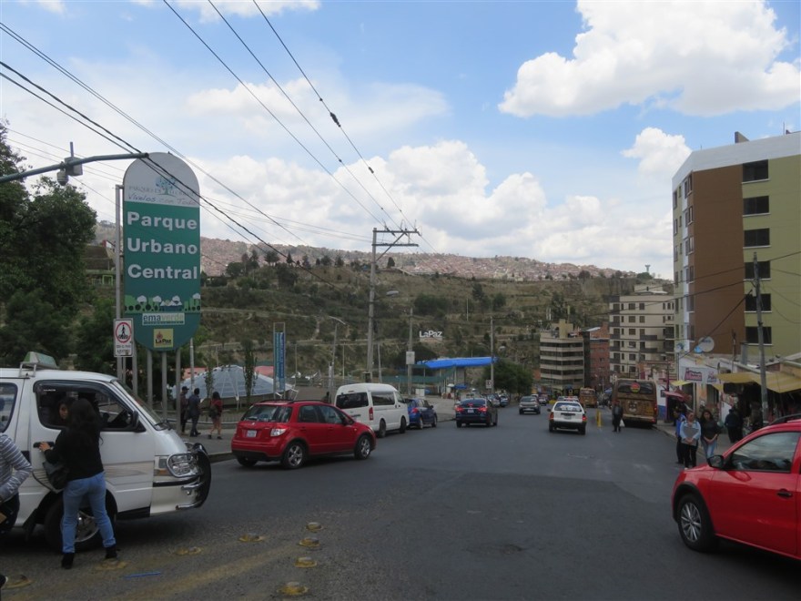
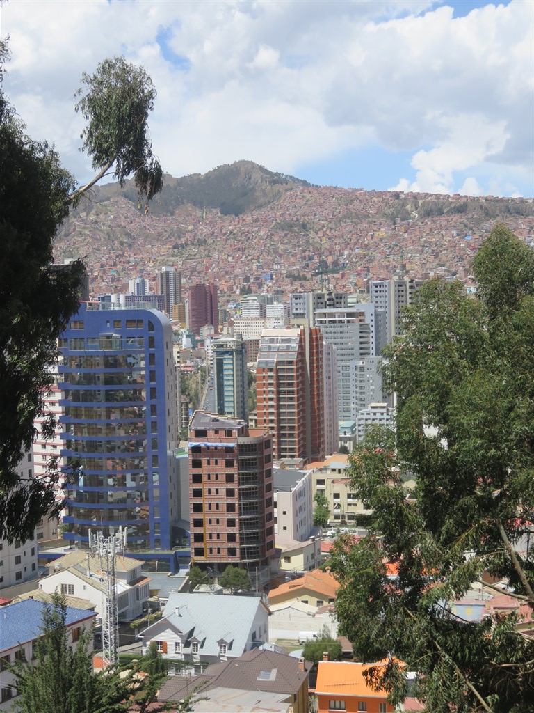
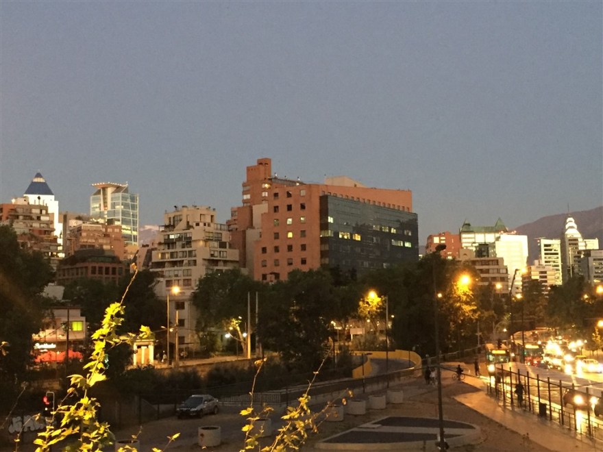
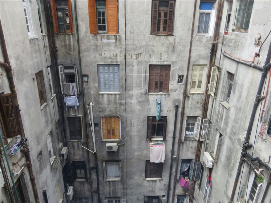
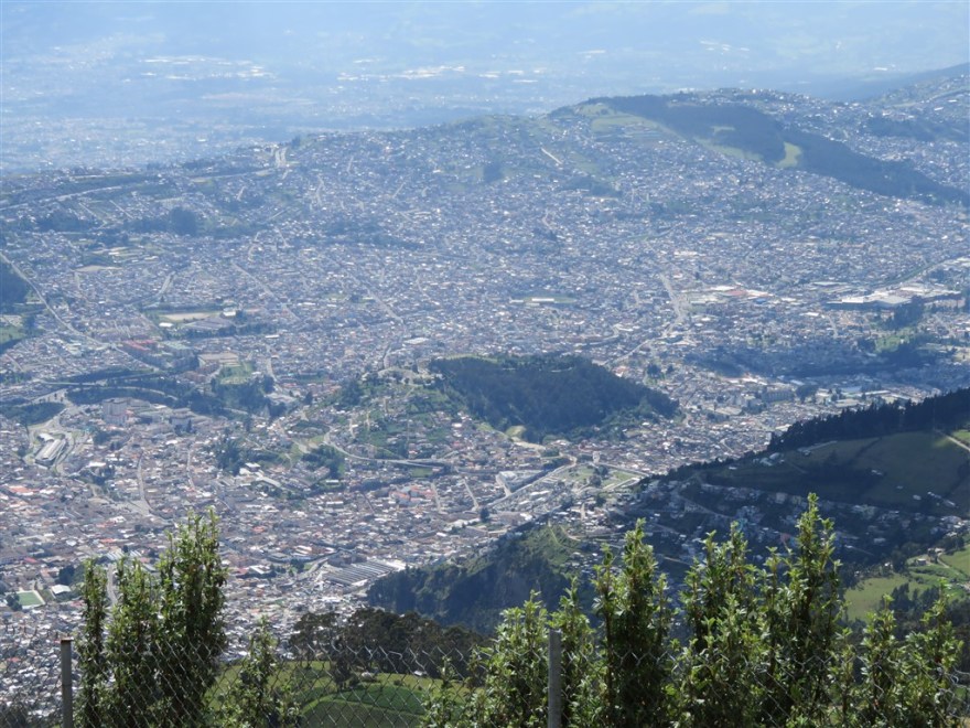
I spent about 5 days in Quito over a 3 week period in-between my trips to Cuenca, the Galapagos islands and Mashpi Lodge. It is another high altitude capital at 2,850m but after a couple of weeks in Bolivia I was getting used to the altitude. It is spread along the Guayllabamba river basin in the foothills of the Andes.

IMG_0071

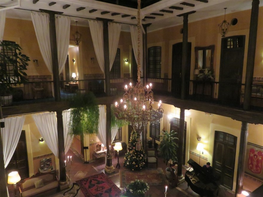
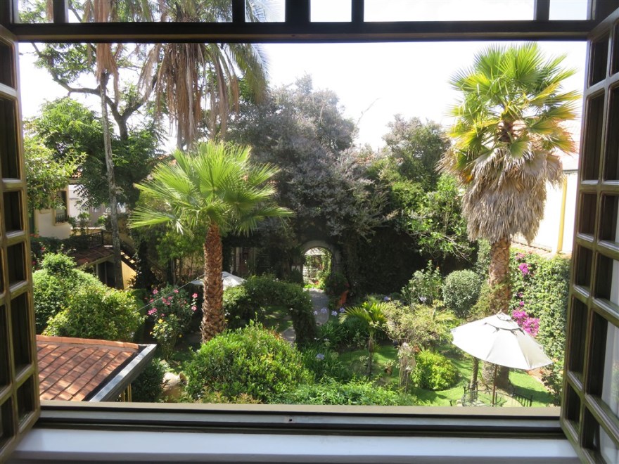
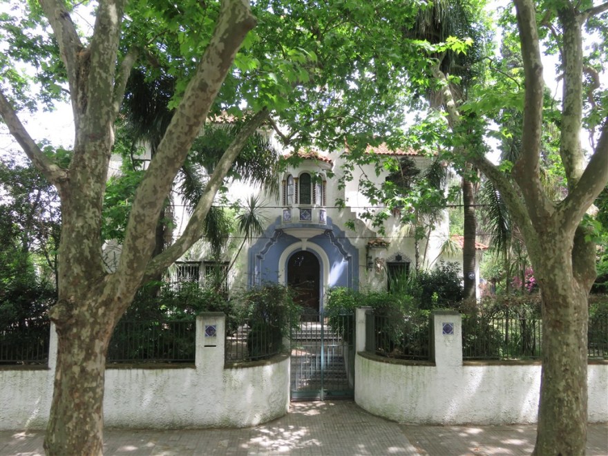
For my first couple of nights I went upmarket and stayed in one of the converted mansions in the old part of the city – Casa San Marcos (www.casasanmarcos.com).

IMG_1004

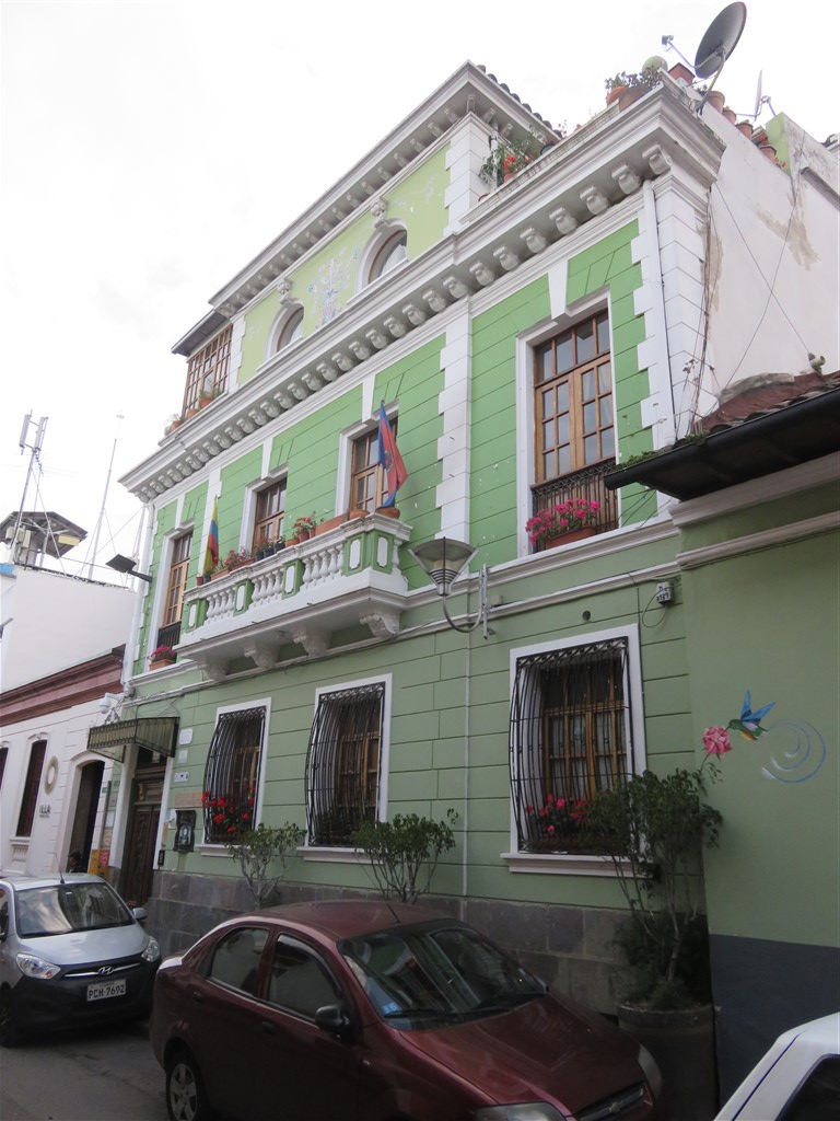
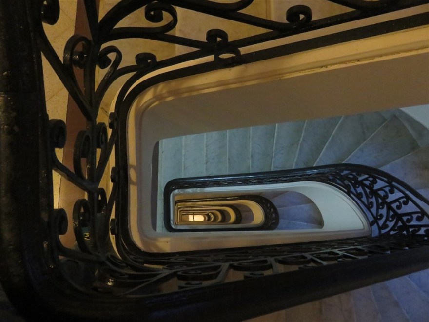
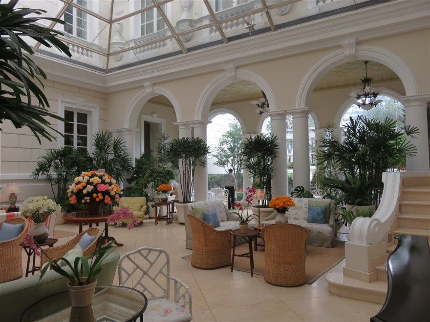
The house retained many of its original features and it was like staying in a museum.

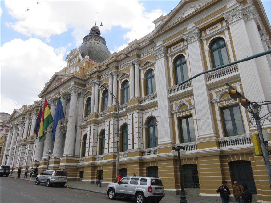
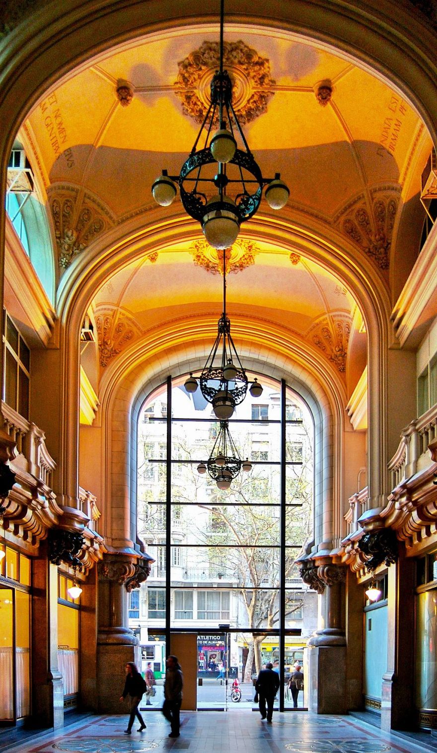
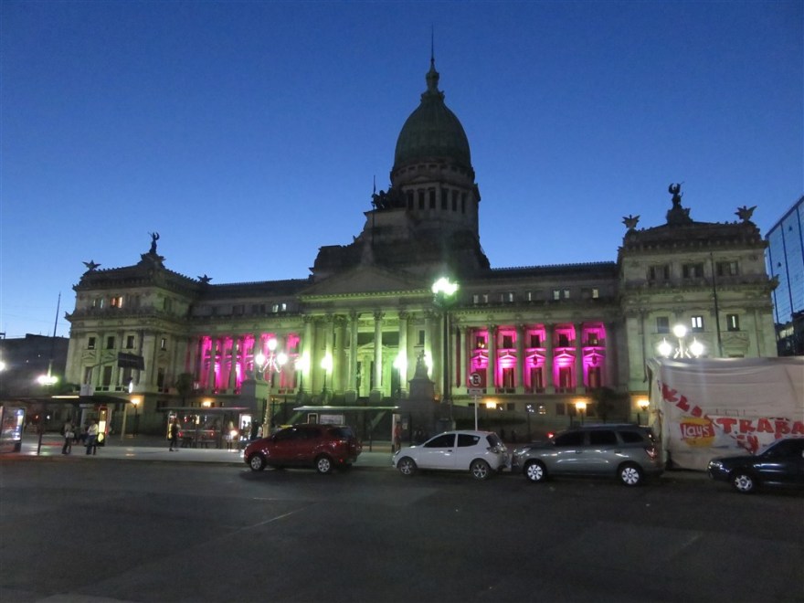
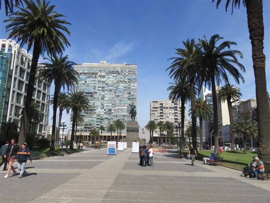
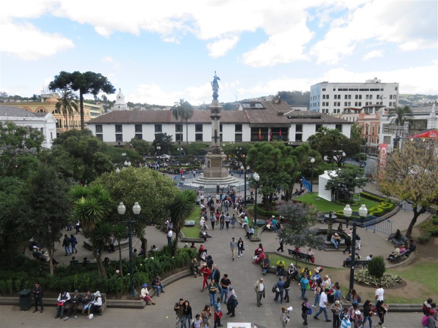
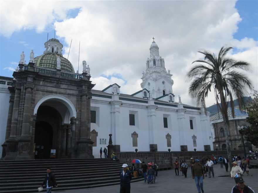
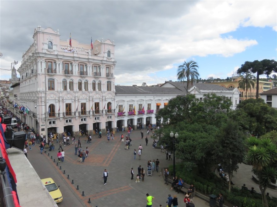
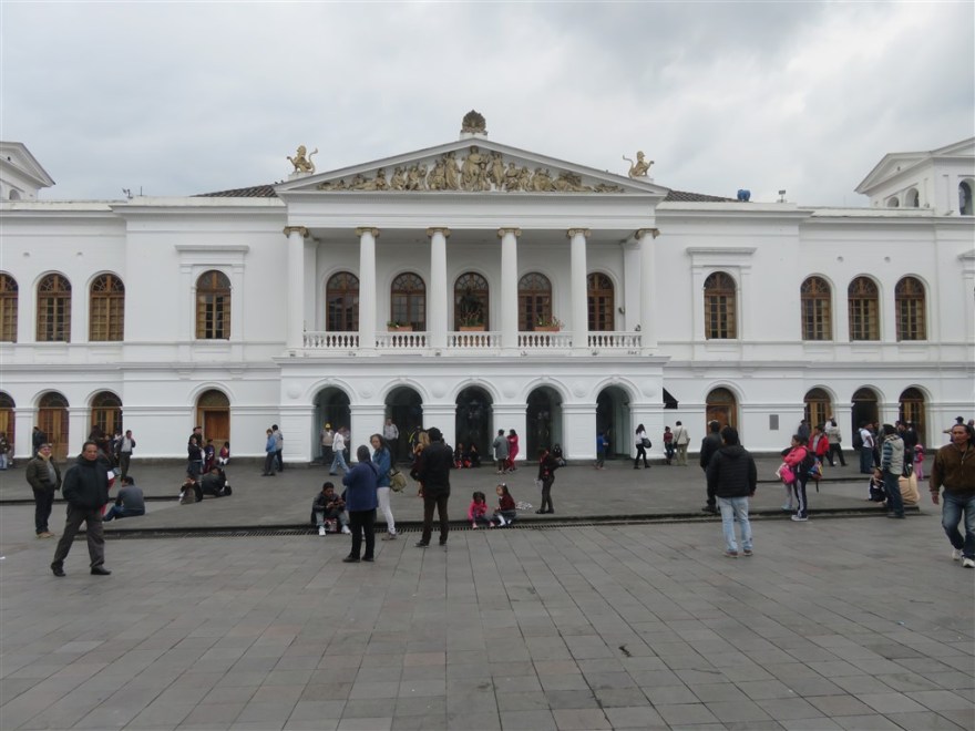
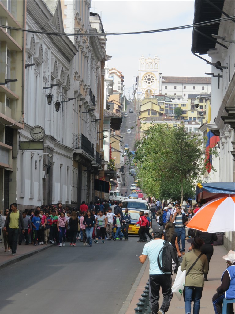
I spent most of my time in the historic centre which is a UNESCO world heritage site. The central point is Plaza Grande.

IMG_0104

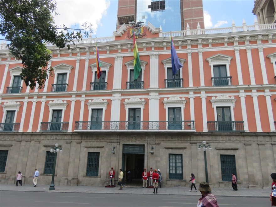
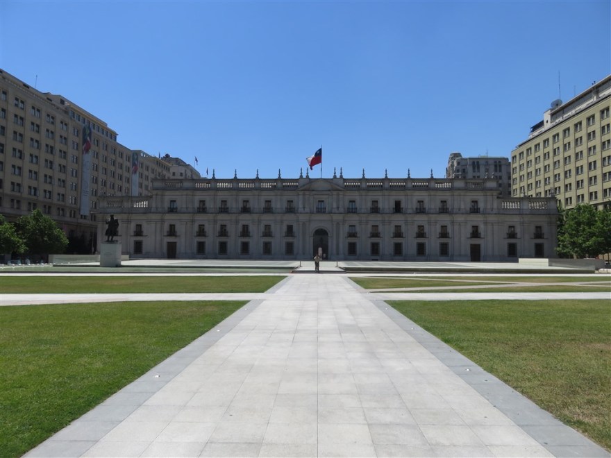
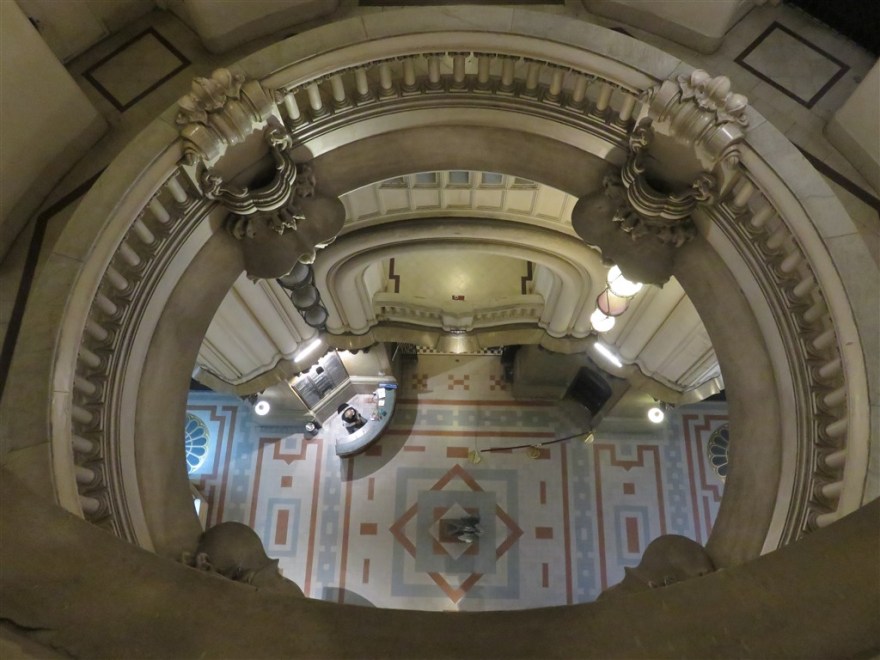
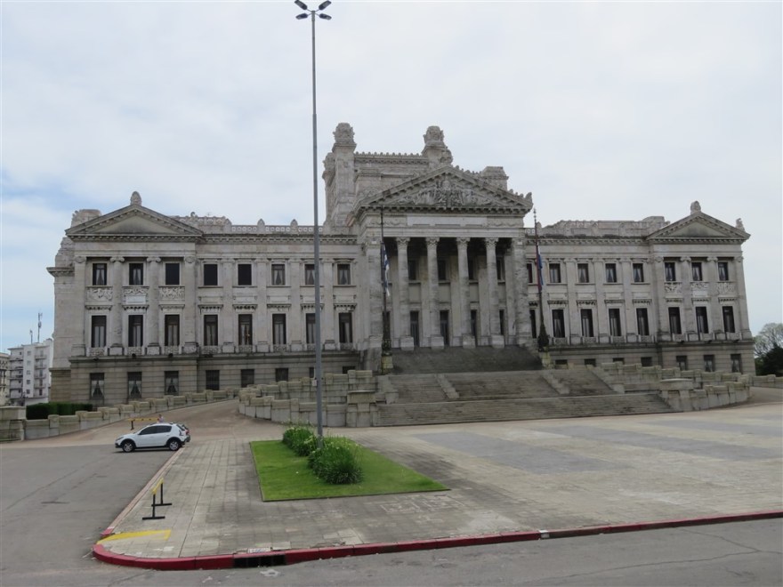
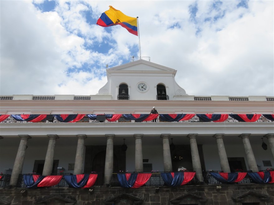
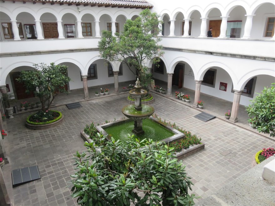
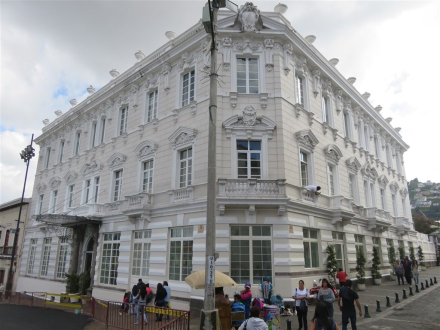
The Presidential Palace is located on the North West side. It is open for visits when not in official use.

IMG_0119

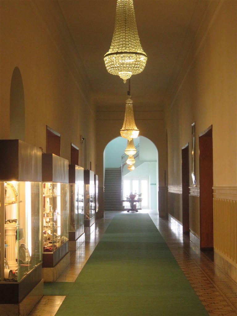
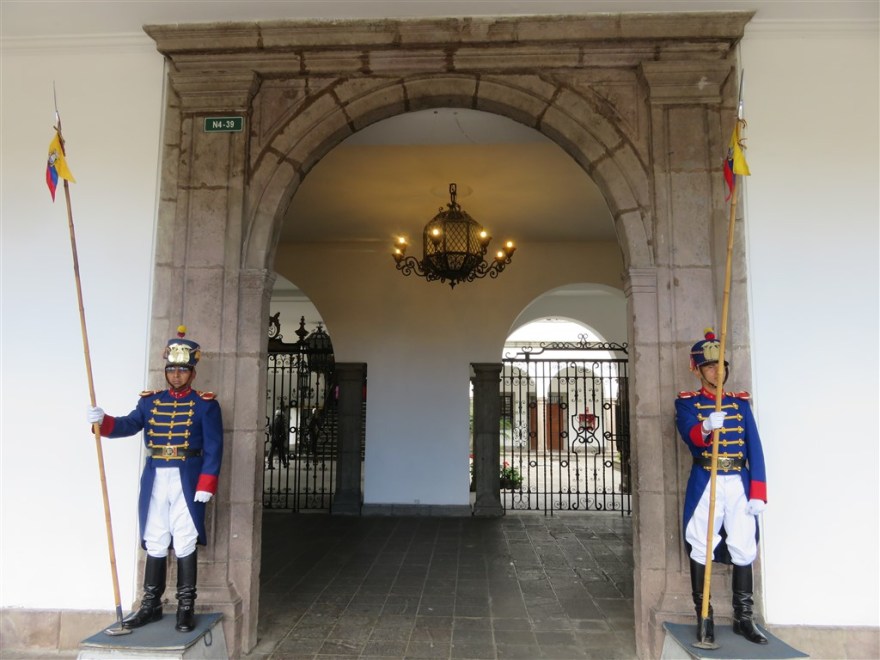
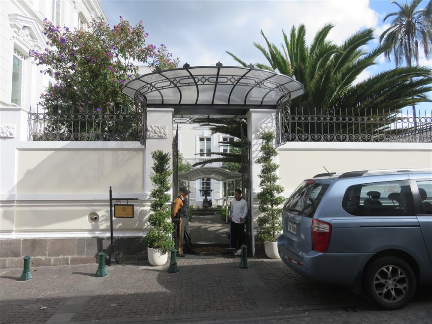
I signed up for one of the free tours. Entering through the front entrance, the first part of the tour is spent in the museum.

IMG_0118

The building has been completely renovated and extended over the last 10 years but all the architecture has been restored to its original design. The lower two floors are used for administrative and ceremonial purposes. The President lives on the top two floors.

IMG_0115

The President was not in his office when I visited. There are two guards posted outside when he is there.

IMG_0114

This display in the museum showed all the Ecuadorean Presidents. Those elected democratically have gold frames and those who were not (e.g. military appointments) have black frames. Only about a third have gold frames.

IMG_0099

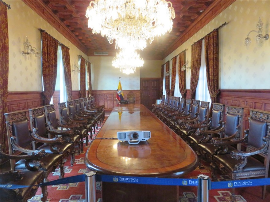
The cabinet room is used for the President’s Cabinet meetings twice a week.

IMG_0102

Next door is the Banqueting Suite.

IMG_0110

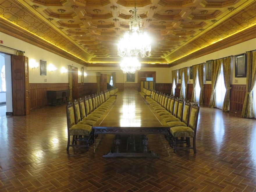
The President’s Room is used for all ceremonial events.

IMG_0111

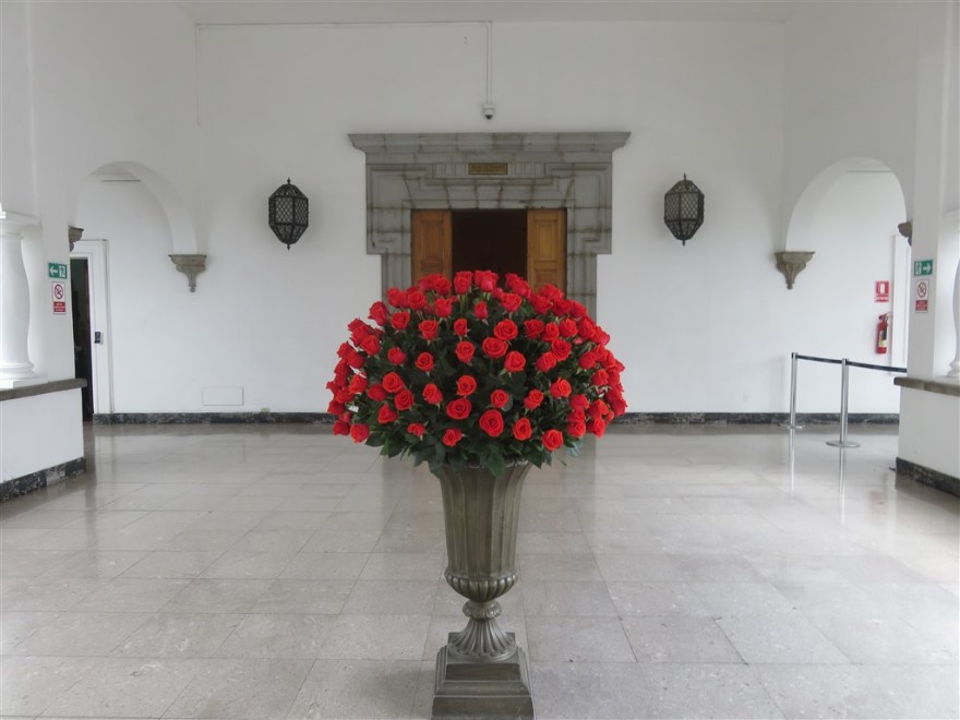
Roses are one of Ecuador’s largest export markets.

IMG_0113

Next to the Presidential Palace is the Cathedral.

IMG_1016

IMG_1009

On the other side is the Hotel Plaza Grande and the Mayor’s office to the right with the red and blue drapes. Everything was being draped in red and blue to mark the city anniversary on 6th December.

IMG_0106

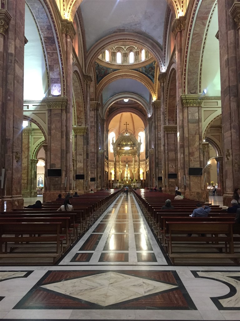
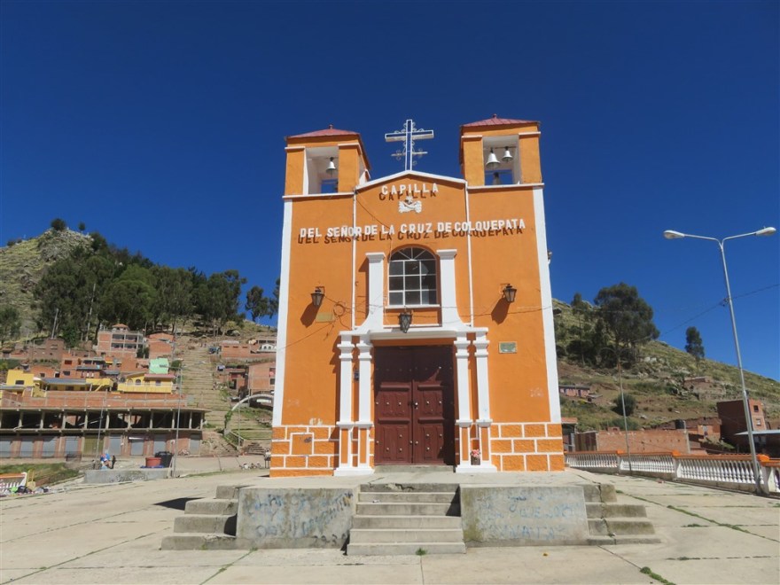
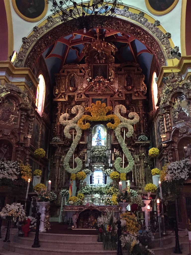
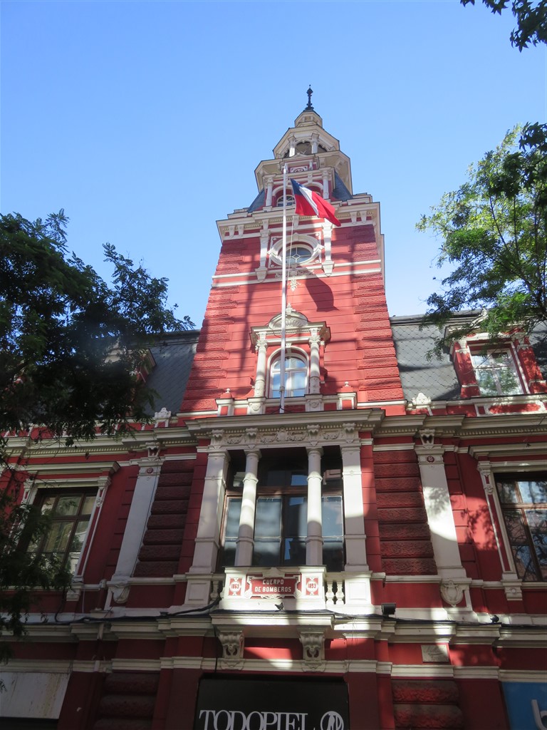
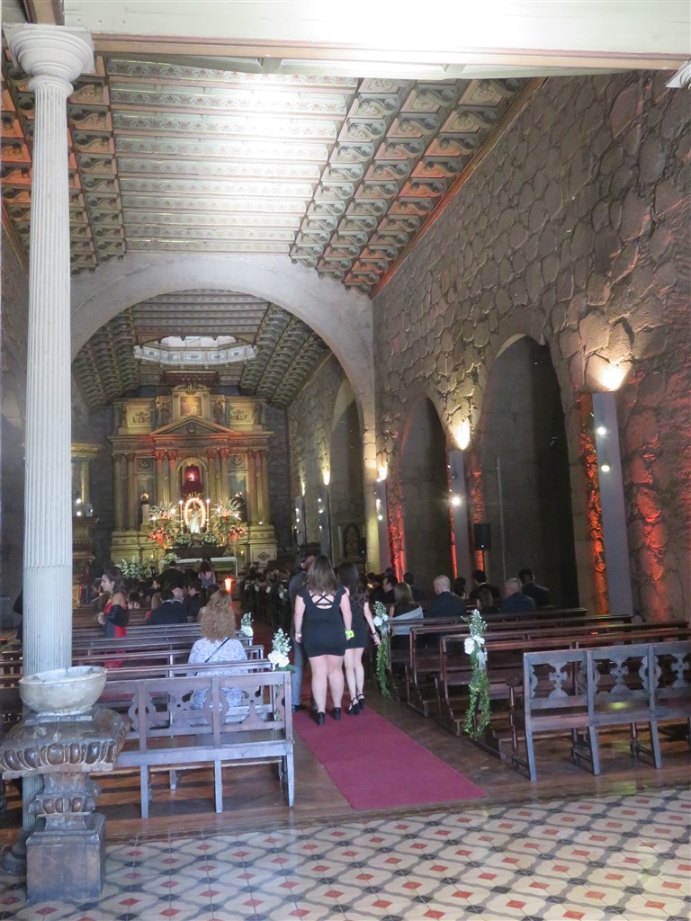
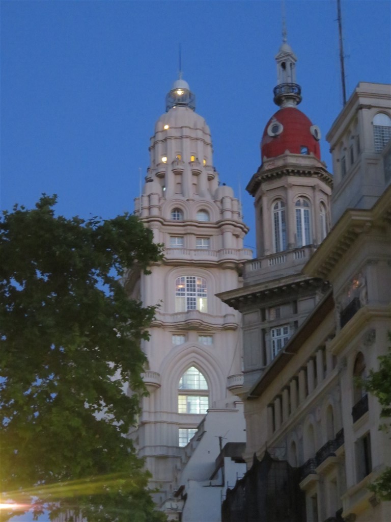
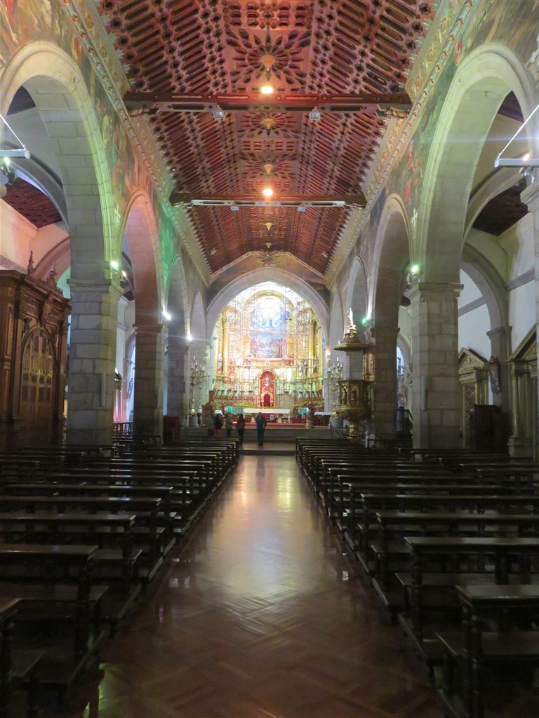
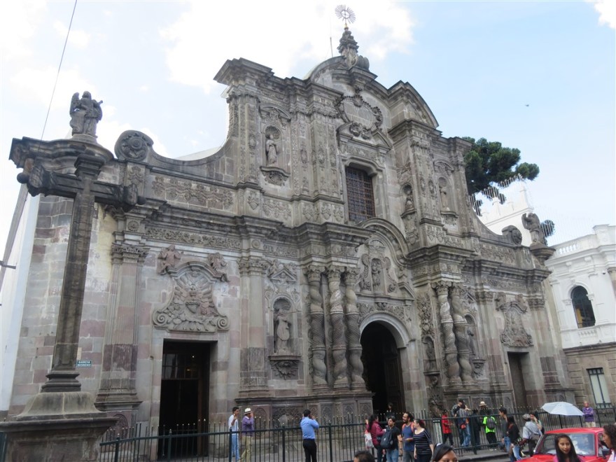
Like all South American capital cities, Quito has a lot of churches. I am more interested in their architecture than what goes on inside. It is amazing what you can build if you have sufficient funds (a bit like Las Vegas). A good example is La Compania.

IMG_1048

IMG_1503

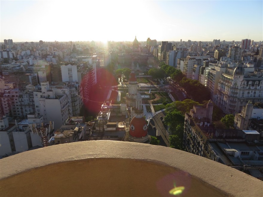
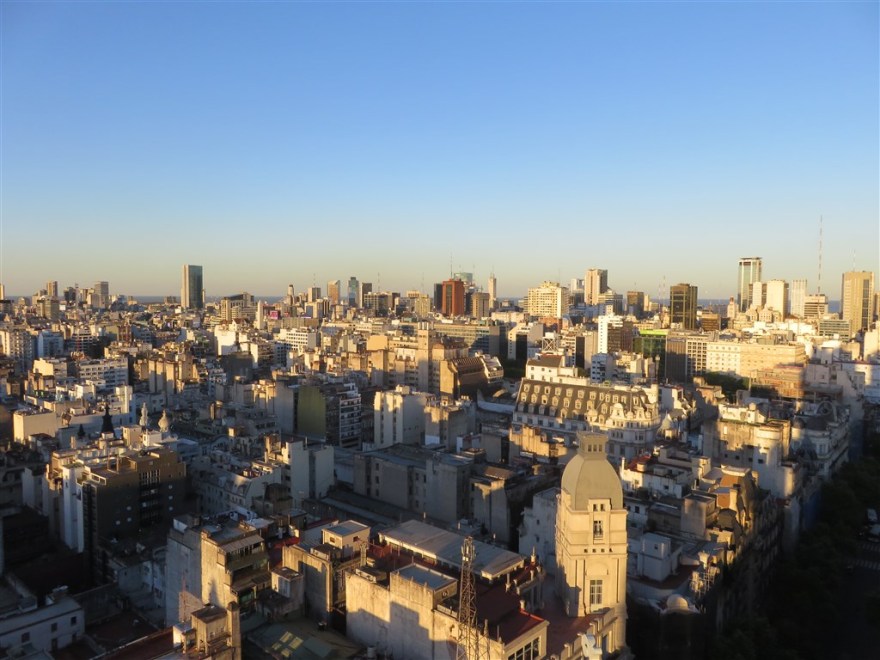
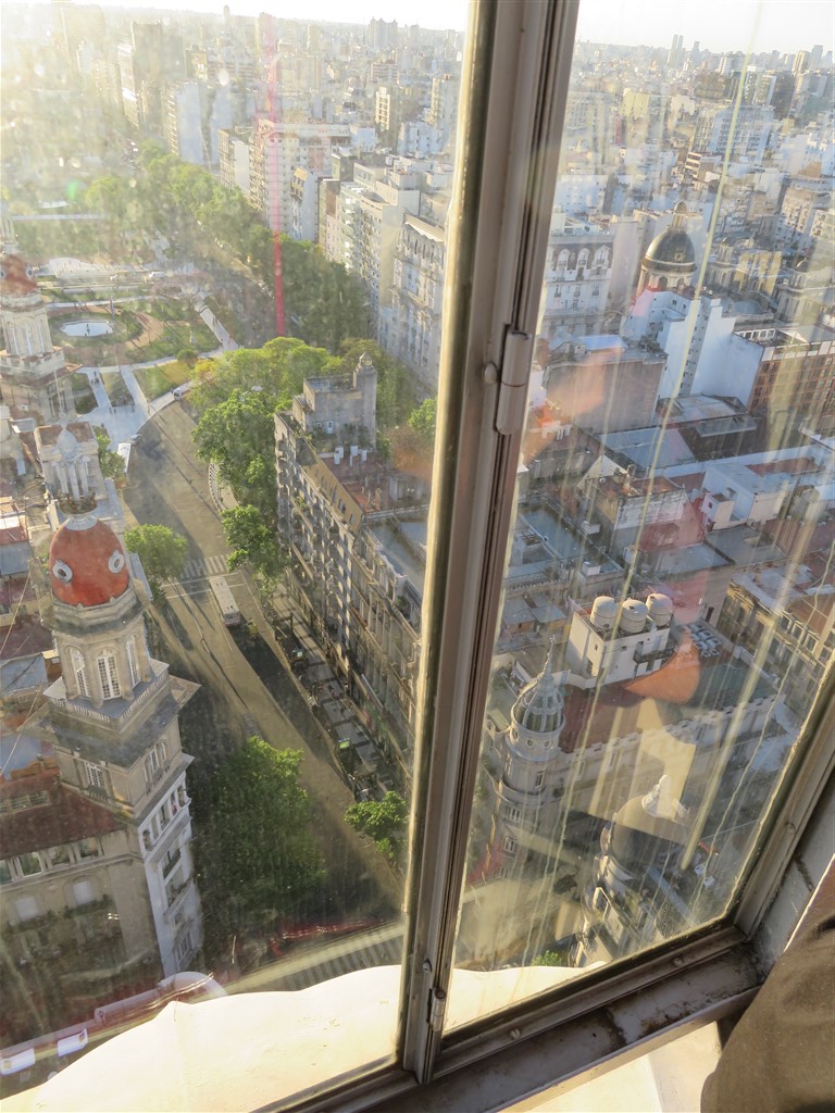
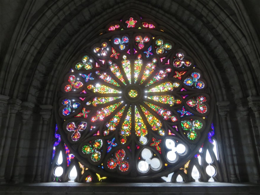
I particularly liked the Basilica because of its extravagant stain glass windows and because you could climb up it.

IMG_0977IMG_0978IMG_0980
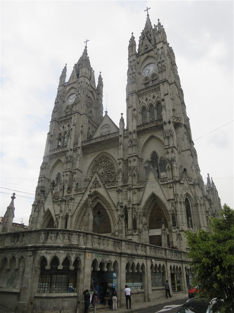
The climb to the top starts with a 5 story climb up steps in one of the bell towers. From the balcony over the front doors, you have to walk over the roof of the main church on a very narrow wooden walkway and up some steep steps at the end.

IMG_0981

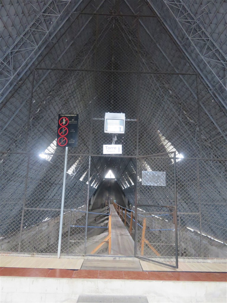
Once outside on the roof, you have a couple more sets of steep steps..

IMG_0986

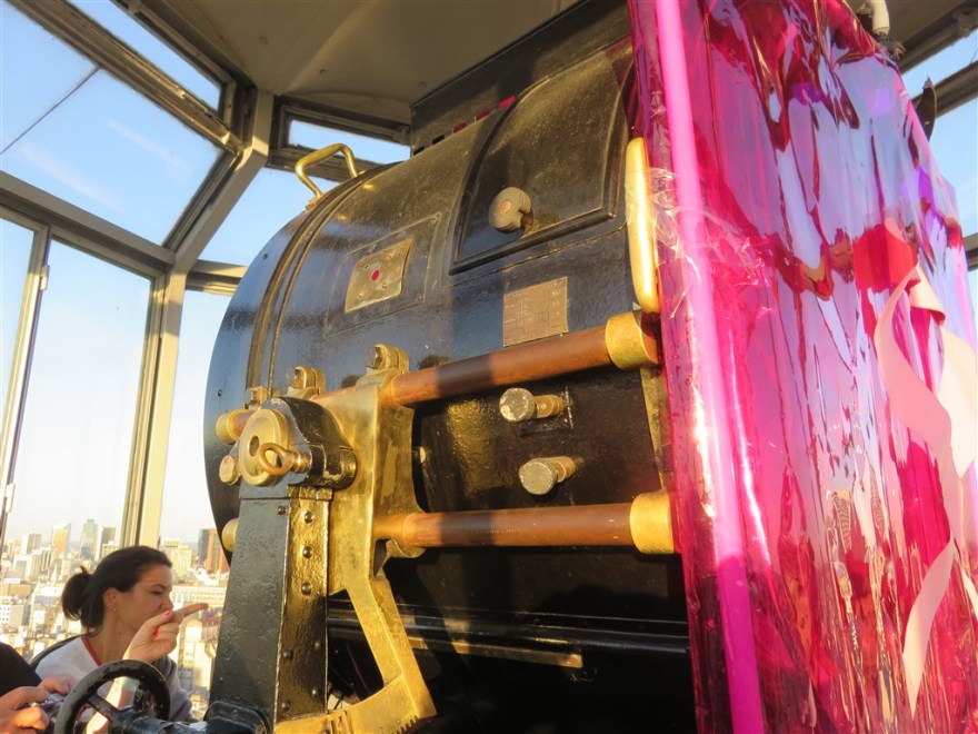
which gets you up to the viewing platform in the central tower. Don’t attempt this is if you are at all uncomfortable with heights!

IMG_0990

IMG_1018

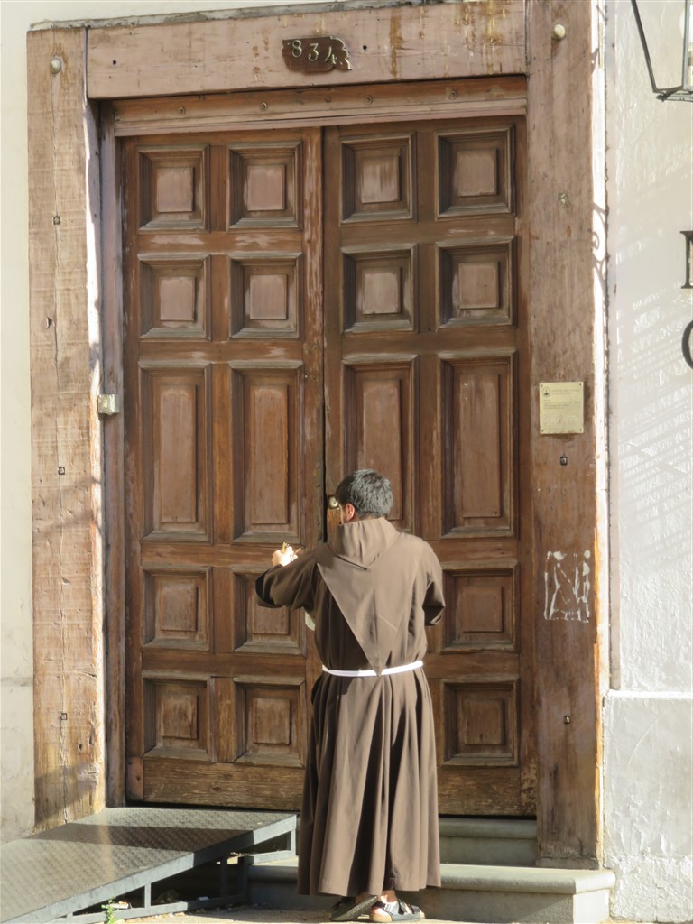
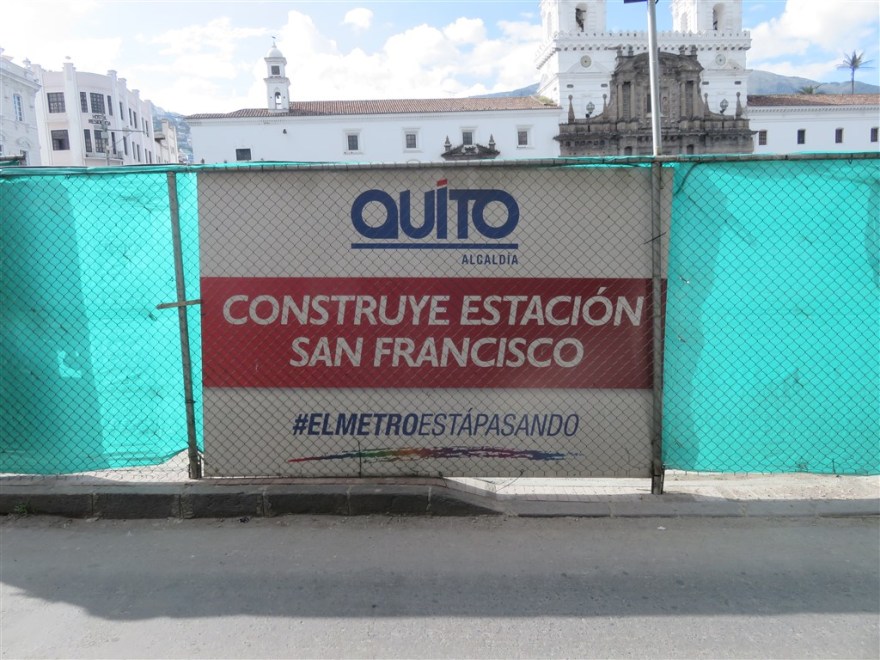
However. my favourite was the Church of  San Francisco and its Monastery next door. It is the largest colonial structure in the city and its construction started just a few weeks after the founding of Quito in 1534.

IMG_0510


IMG_1068

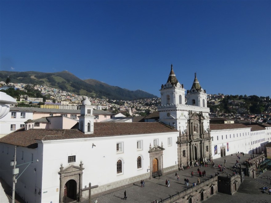
Unfortunately, the view from the plaza outside is currently disrupted by the building work underway on the new Quito underground.

IMG_1090

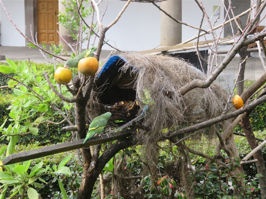
The Monastery is equally impressive.

IMG_1072

Along with the Monk’s bird table.

IMG_1062

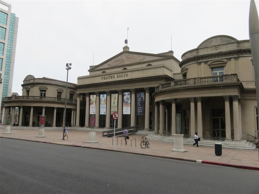
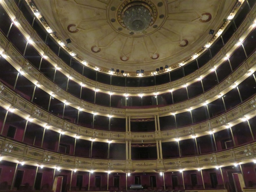
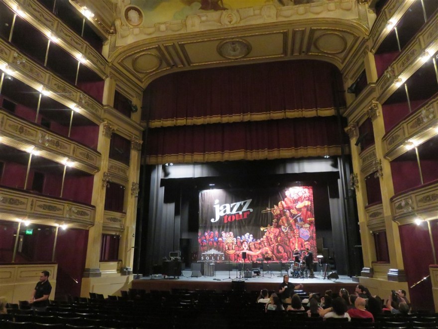
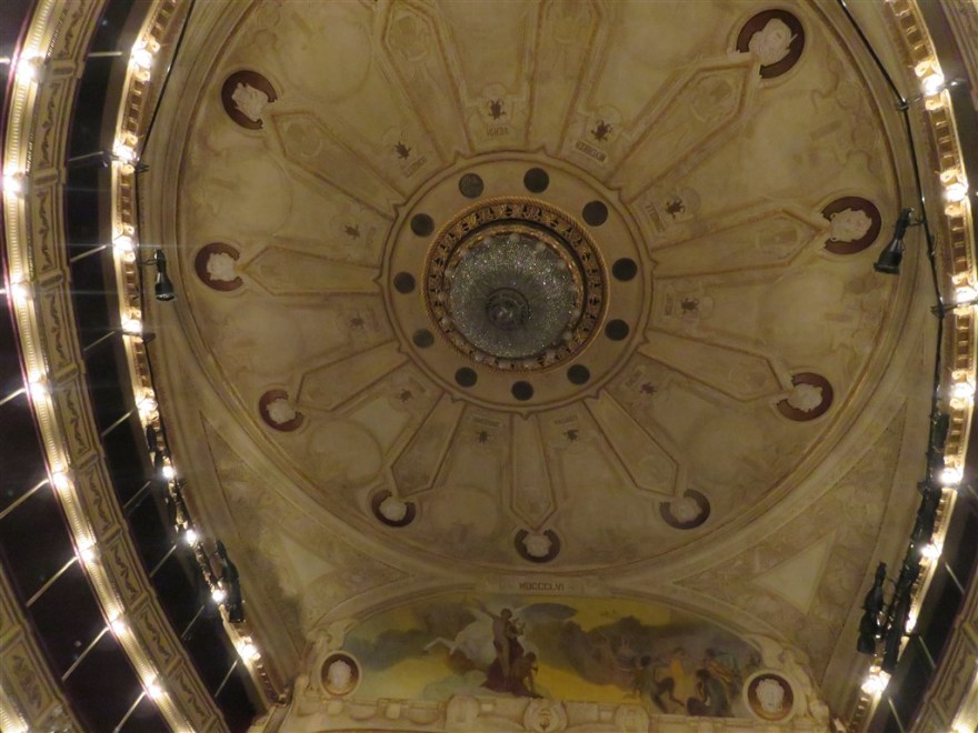
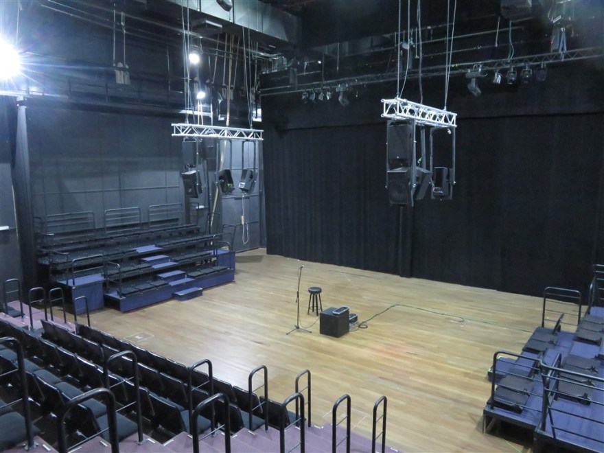
Quito has some lovely old theatres as well. Teatro Bolivar was built in 1933.

IMG_1005


IMG_1504

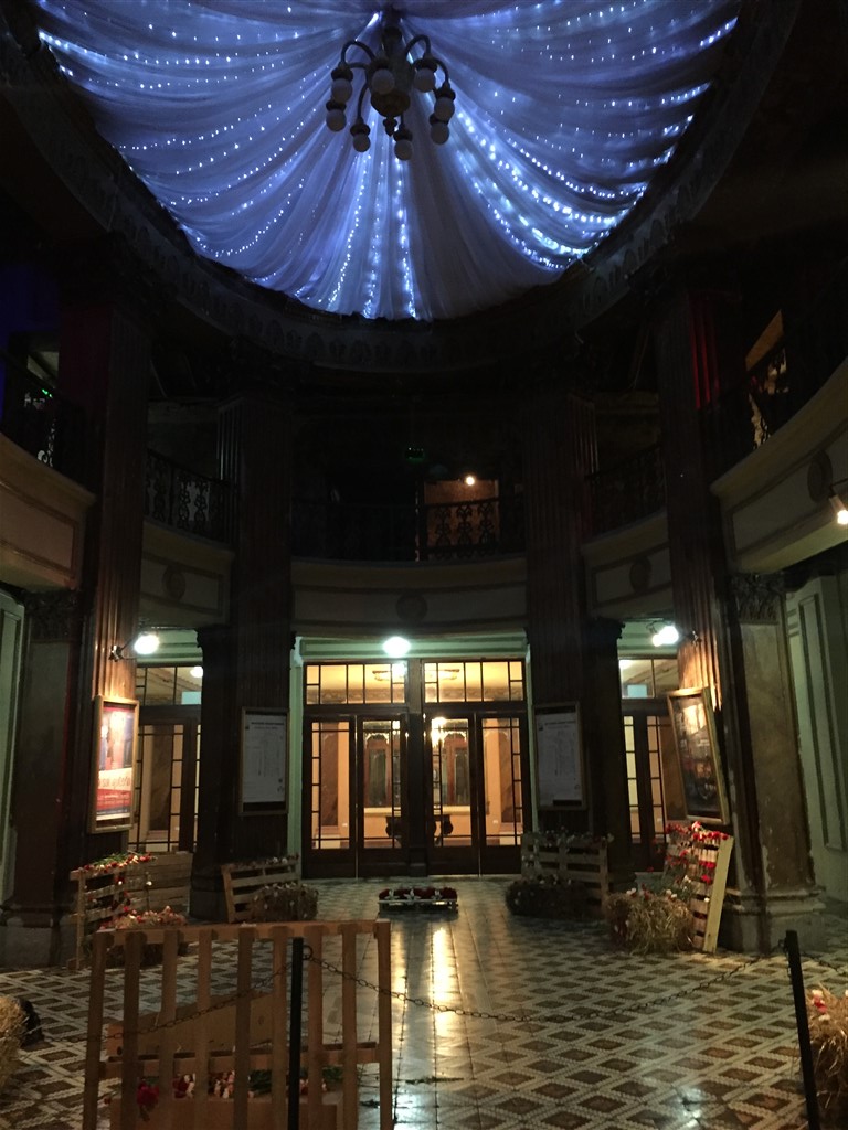
The Teatro Sucre is Quito’s main theatre.

IMG_0976

Unfortunately, neither offer tours or provided an option to sneak in and have a look.

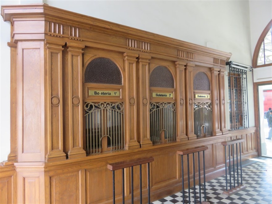
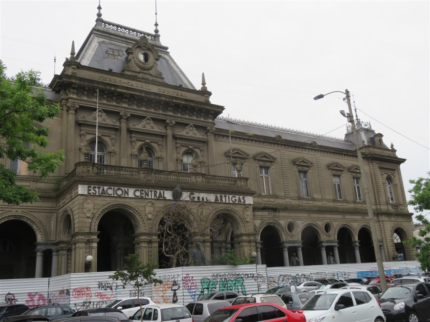
Quito’s train station has recently been restored and is again offering a service to Guayaquil. The Ferrocarriles del Ecuador Empresa Publica (FEEP) (Ecuadorian Railways Company) dates back to the 1860’s but it took until 1908 for the service to reach Quito. However, heavy rain in the 1990’s and general neglect led to only 10% of the railway being open at the time of its centenary in 2008.

IMG_0086

IMG_0084

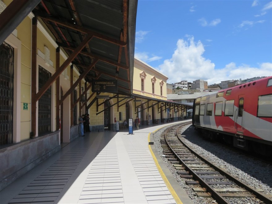
The President announced a restoration programme in 2008 and the Quito to Guayaquil route reopened in 2013. Now mainly a tourist service, several other routes are offered by Tren Ecuador (www.trenecuador.com). The luxurious Quito – Guayaquil service – “The Train of Wonders” – takes 4 days and costs US$1,650 per person.

IMG_0085 
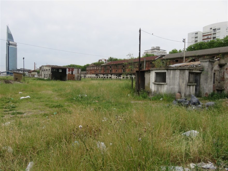
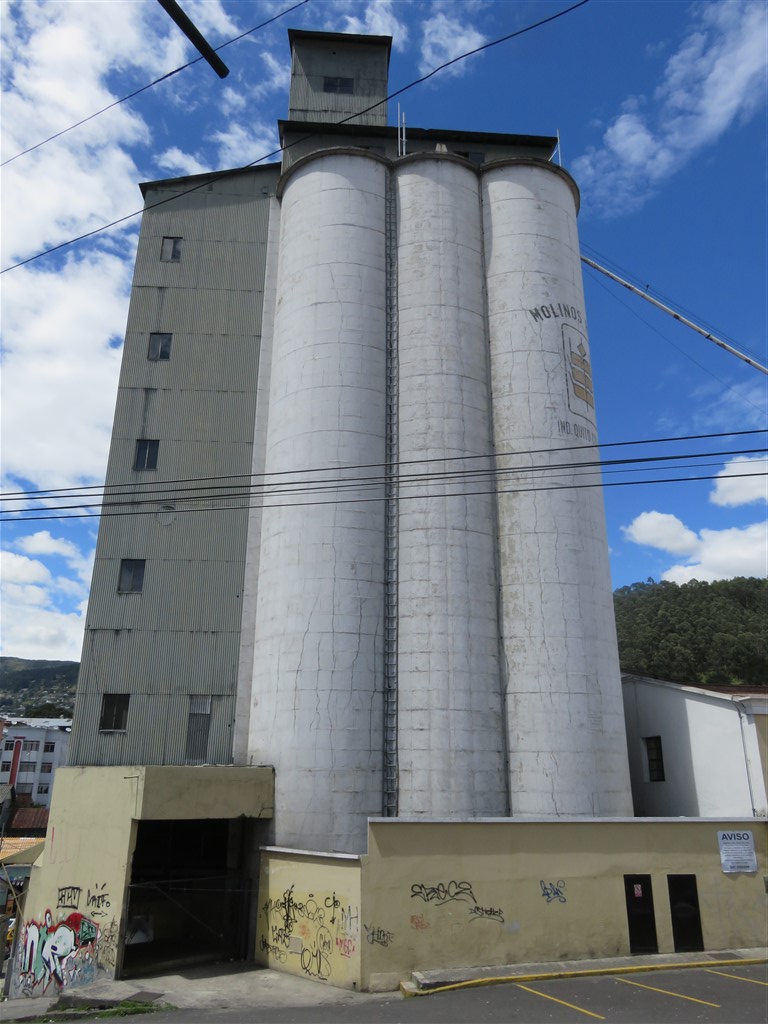
Outside the station is still evidence of the agricultural business that originally used the railways.

IMG_0087

IMG_0088

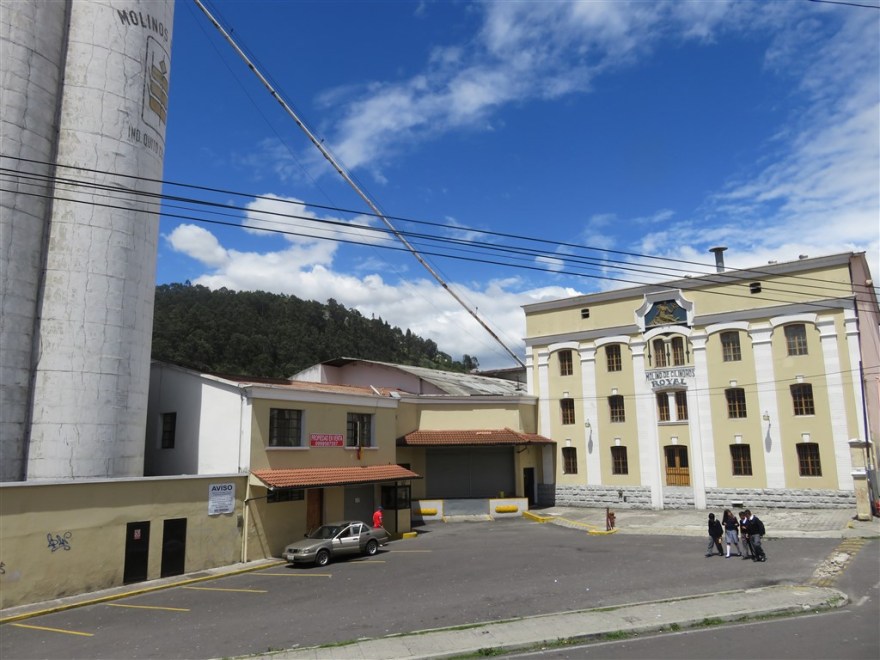
The station café has been re opened and is popular with the railway staff.

IMG_0091

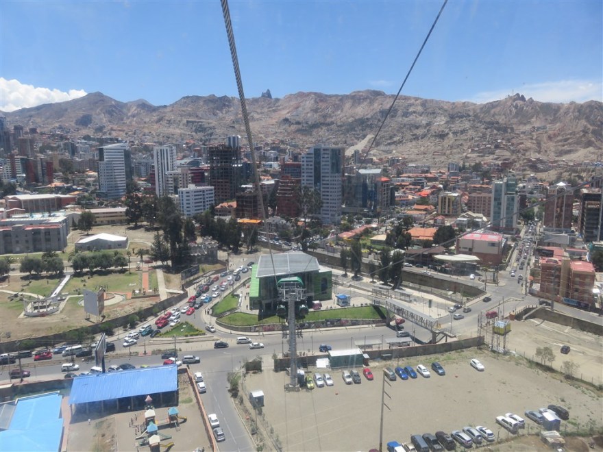
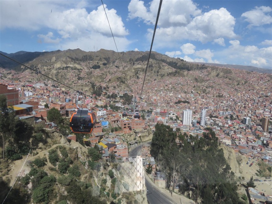
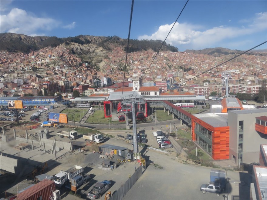
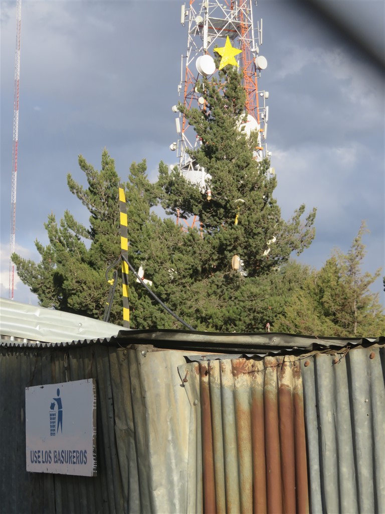
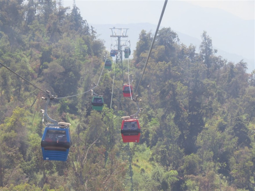
Quito also has cable car service up the side of the Pichincha Volcano – The TeleferiQo (www.teleferico.com.ec). Unfortunately, the city view from the station at the top is partially obstructed by the Telecoms satellite dish and aerial site immediately in front. The service is mainly used those wanting to hike up to the volcano crater.

IMG_0081

IMG_0512

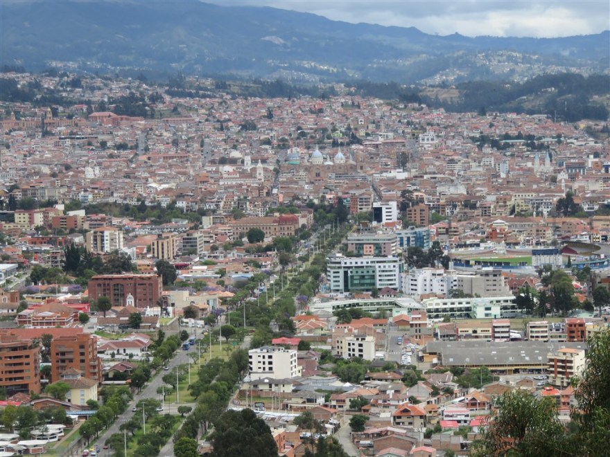
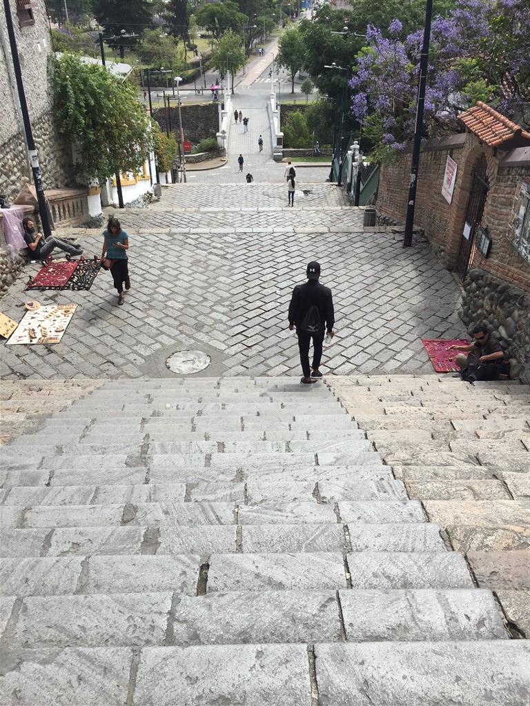
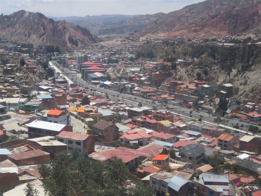
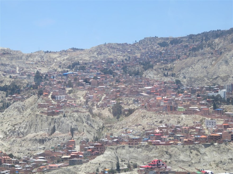
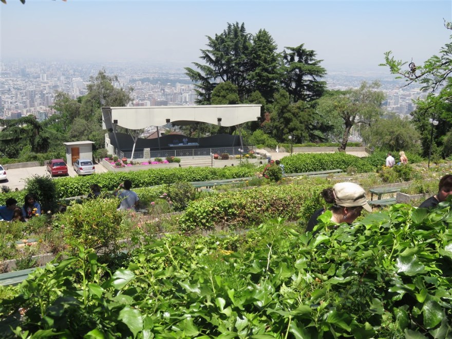
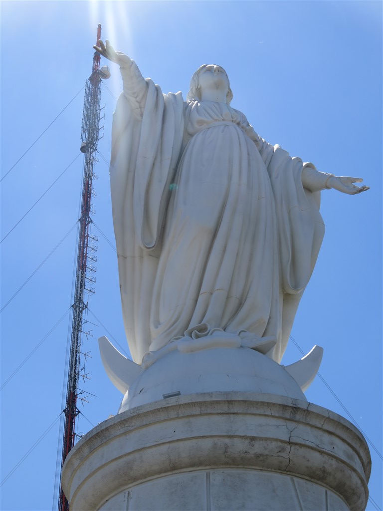
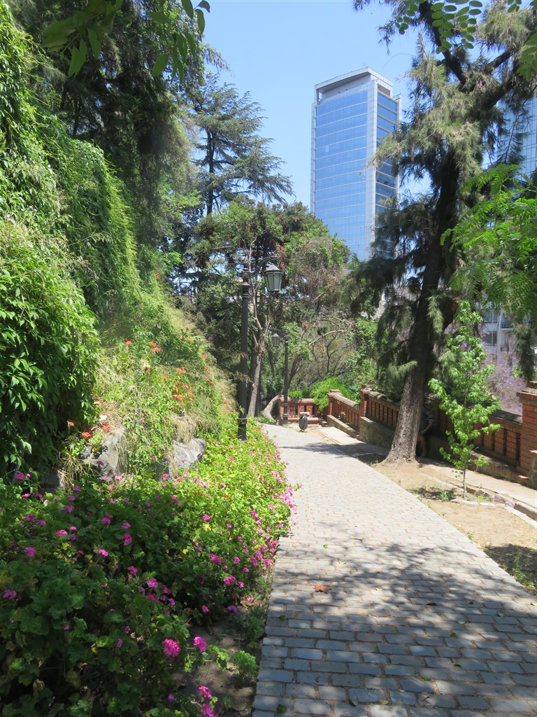
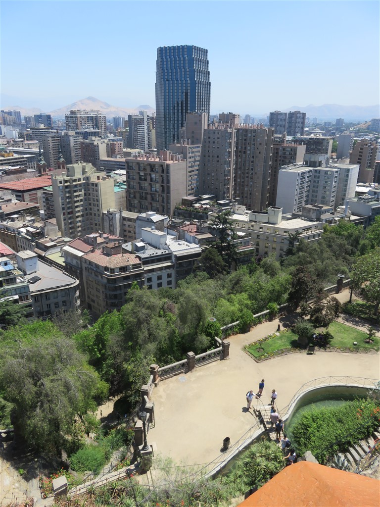
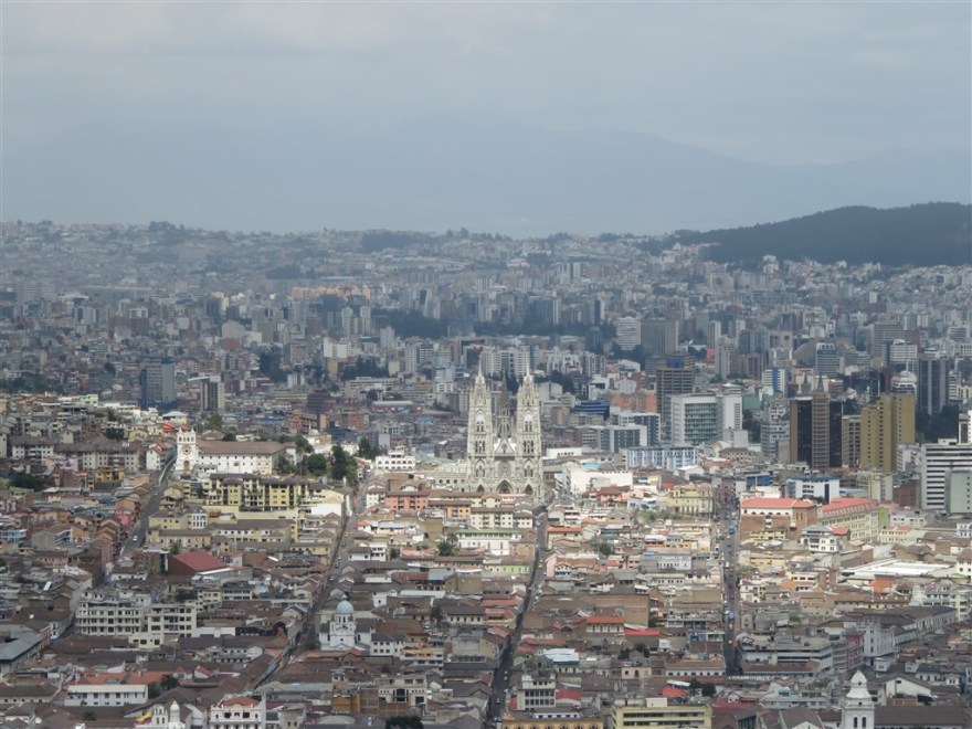
The original city is overlooked by a hill called El Panecillo which is topped by a huge statue of La Virgen de Quito.

IMG_1038

IMG_0513

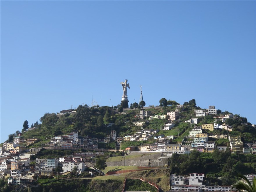
There are great views from the hill of the historic district.

IMG_1033

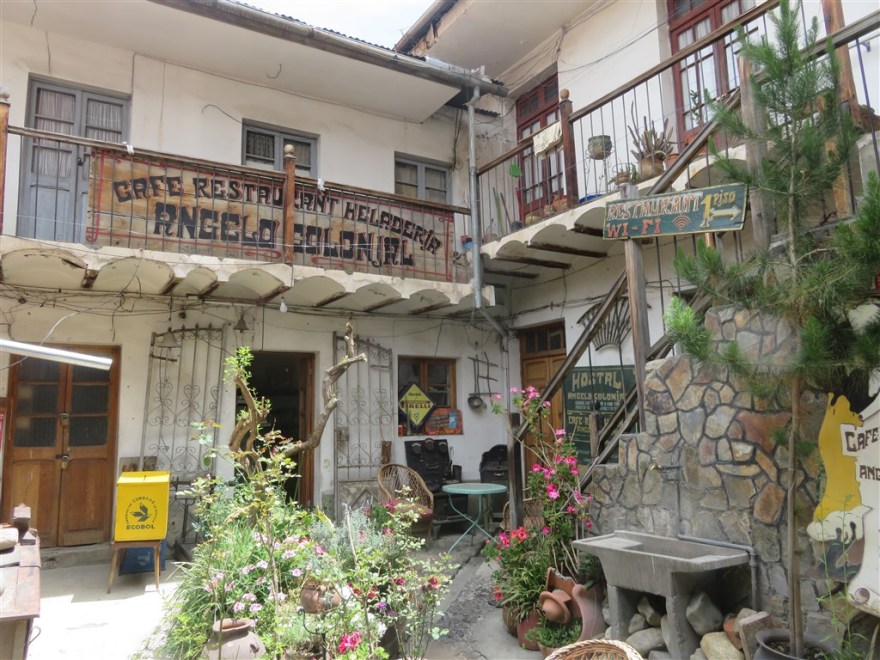
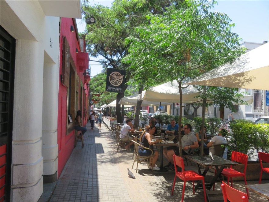
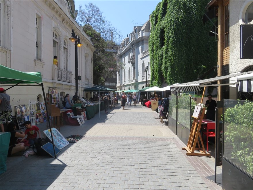
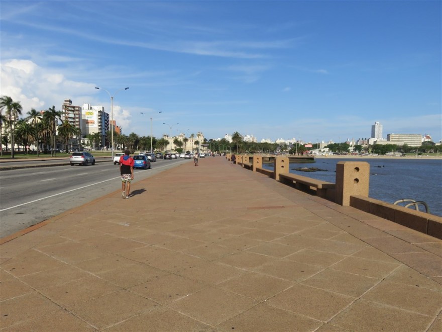
La Ronda is a restored narrow cobblestone lane lined with picture perfect tourist restaurants and shops.

IMG_1114

IMG_1115

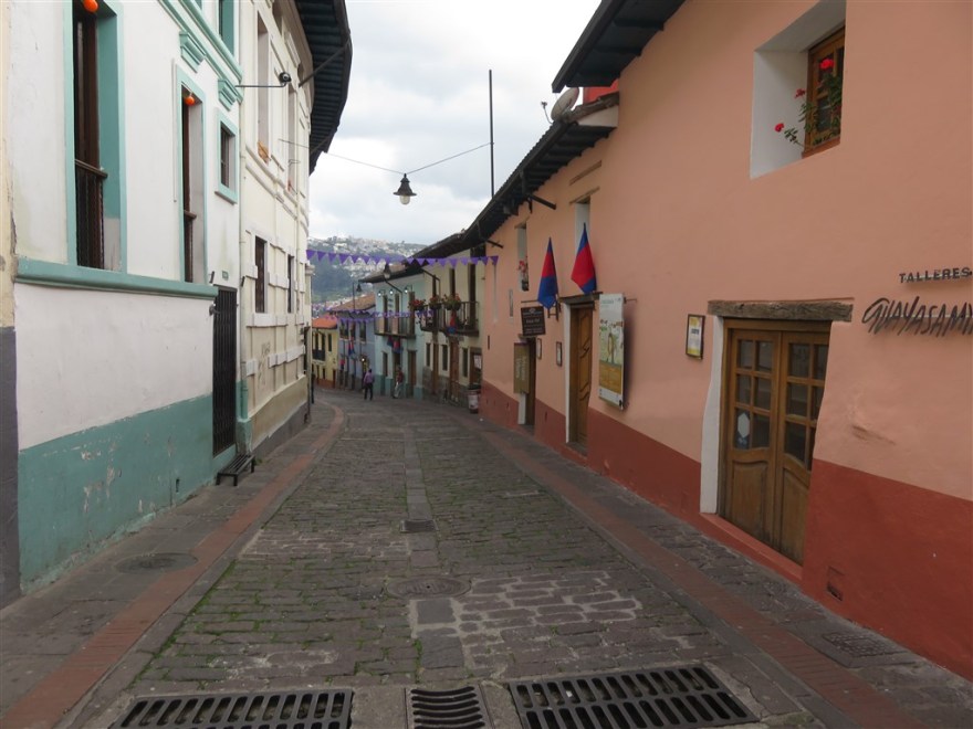
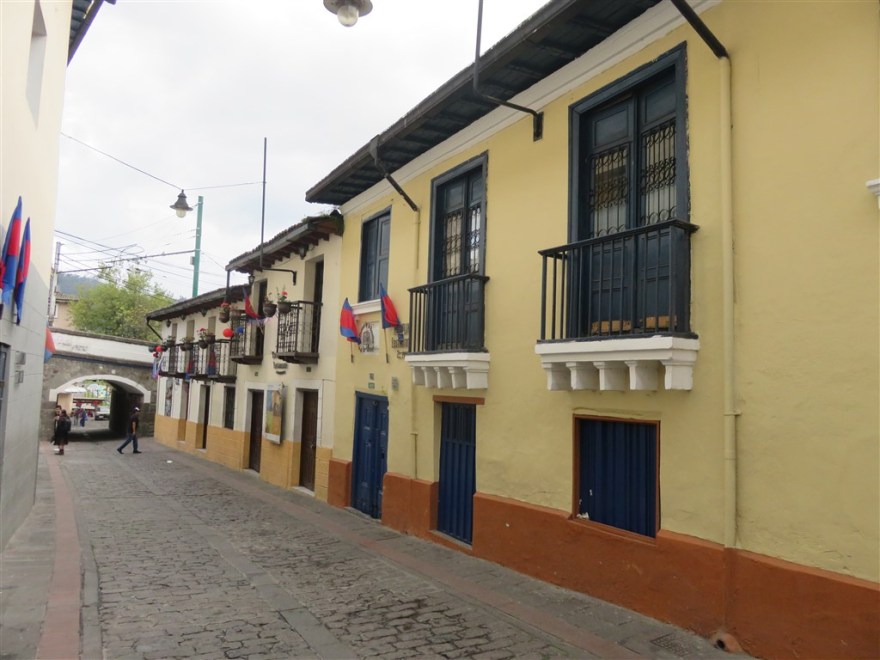
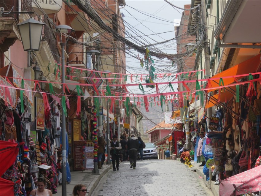
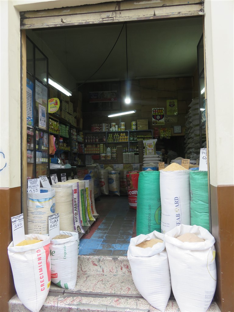
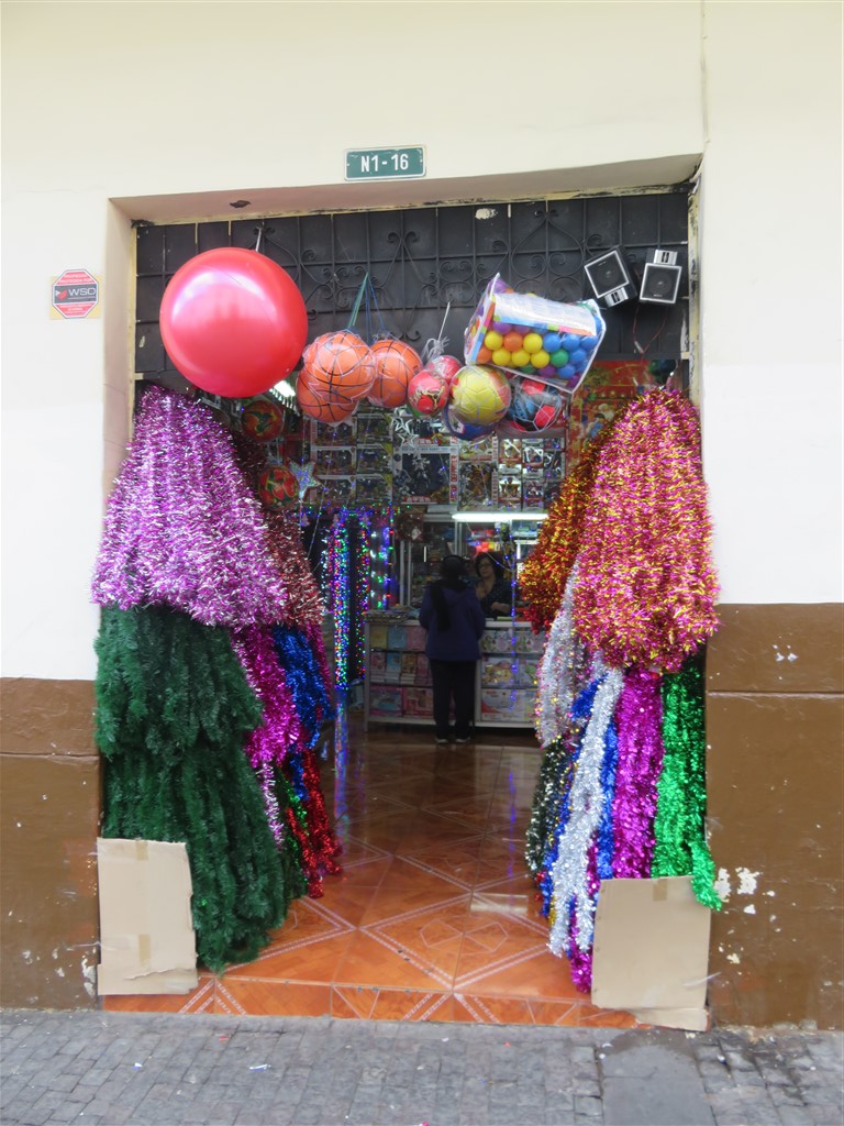
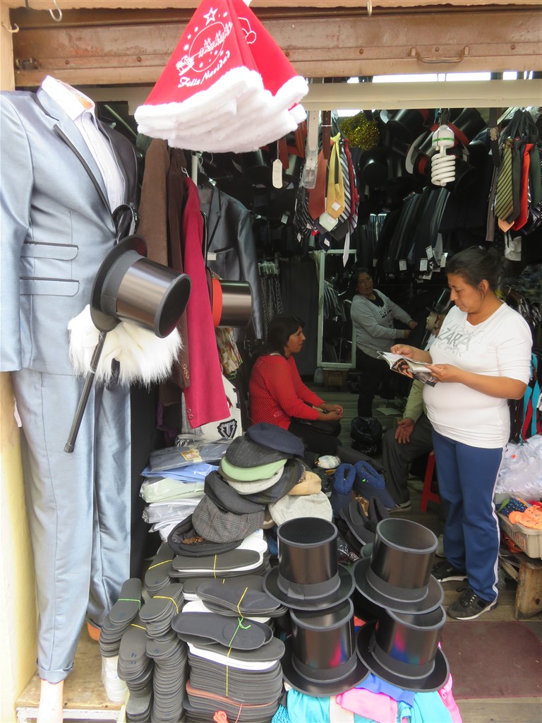
In my view, the original streets in the historic district are more interesting.

IMG_1052

IMG_1051

IMG_1078

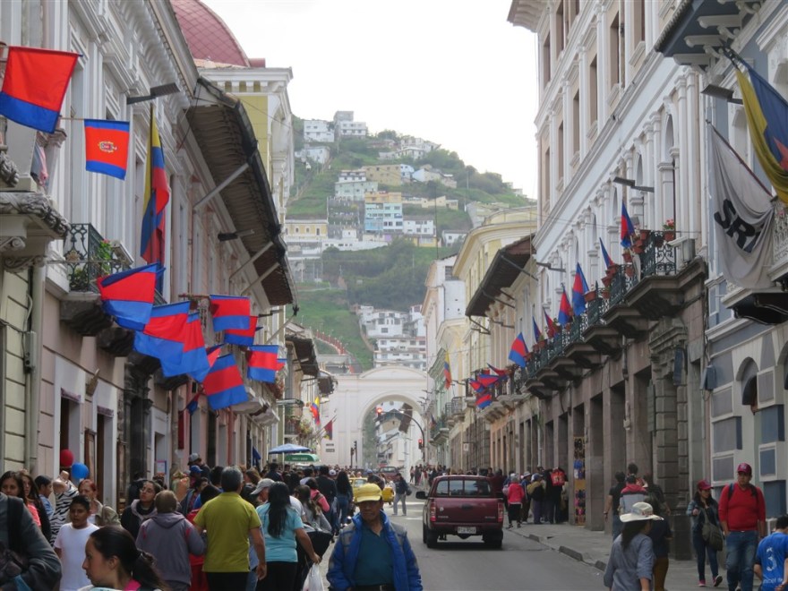
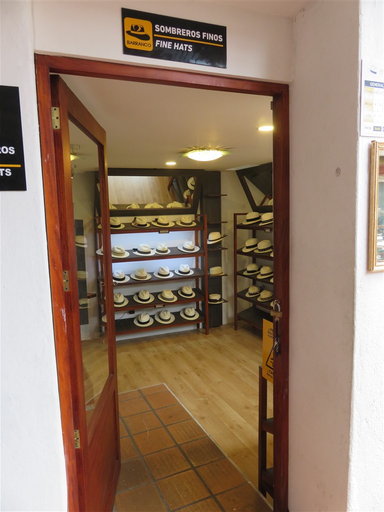
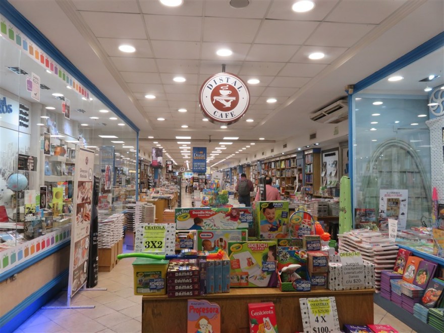
With their diverse collection of shops.

IMG_1097

IMG_1100

The shops were stocking up for Christmas. I never found out what the relevance of the plastic top hats was but they were being sold alongside Christmas decorations in most shops.

IMG_1099

IMG_1086

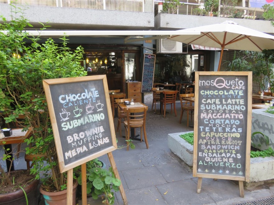
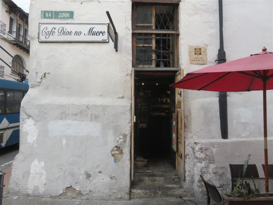
My favourite restaurant in the city was Café Dios no Muere (www.cafediosnomuere.com)

IMG_1117

IMG_1507

I spent a couple of nights in the Hilton Hotel in the new town but found nothing worth writing about in this part of the city. My main memory of the area was the rather annoying party trucks that went past every 10 minutes.

IMG_0999

I returned to Quito for the last night of my trip and forked out on a night in Casa Gangotena. A boutique hotel in a restored mansion on Plaza San Francisco.

IMG_1091

IMG_1096

IMG_1095

IMG_1094

IMG_1093

Like everywhere else in Quito, the hotel had lots of roses.


Banos

Not to be confused with Banos de Agua Santa in eastern Ecuador, which is known as the gateway to the Amazon and home to over 60 waterfalls. This Banos is a small village just outside Cuenca that is known for its hot springs. When I arrived in Cuenca I had a touch of the flu and initially looked for somewhere with a simple sauna or steam room to sweat off the bug. Banos turned out to offer a lot more.

IMG_1147

The first thermal spa I tried was Novaqua (www.novaqua.com.ec/en/spa-novaqua-home/), a US$4.00 taxi ride from the centre of Cuenca.

IMG_1148

The mineral water used in the spas comes from a geological fault called la loma de los hervideros. It produces the hottest thermal water in Ecuador at about 75’C. It is then cooled to between 36’C and 42’C for use in the spas. The main feature of Novaqua is its thermal pool which is nearer 36’C. Also included in the US$15 day pass is access to the contrast thermal waters (hot and cold pools for alternate use), natural steam bath and sauna. There is also a nice café next to the main pool.

IMG_1141

For an additional US$5, you can get access to the volcanic mud cave. I didn’t try this but felt a bit better after a long soak I the thermal pools.

IMG_1140

Whilst talking to my fellow soakers at Novaqua, I learnt that there was another thermal spa across the road and that both the No 12 and 100 buses go from central Cuenca to Banos for a fare of US$0.25.  The following day I returned on the bus to try out the other thermal spa – Piedra de Agua (www.piedradeagua.com.ec).

IMG_1554

The day fee here for the “spa circuit” was US$35.00 but you get a lot more for your money. The circuits starts off with the red volcanic mud hot spring followed by the blue mud one.

IMG_1544

I found it rather hard to take a selfie whilst covered in mud so I took a picture of the couple that followed me once I was mud free. The basic idea is that you cover yourself in mud, sit out on the deck chairs in the sun for 20 mins and then wash it all off. Repeat with blue mud.

IMG_1553

Next was the underground contrast pools. 10 mins in the hot (42’C) one and 2 mins in the cold one.

IMG_1535

After that were the steam boxes. Once helped into the box, with a towel around your neck to keep the steam in, you have a tap to control the steam level. Sit there until thoroughly super heated.

IMG_1542

Finish off in the Japanese pool which has a couple of contrast pools at the rear. There is also a small thermal springs museum and a spa in this area.

IMG_1549

There is also another thermal pool with sun bathing area.

IMG_1547

And a much larger set of contrast pools.

IMG_1552

There is a great restaurant\café.

IMG_1550

My favourite part was the hidden contrast pools in the spa which can be accessed via a secret doorway in the garden…

IMG_1560

which leads you through a tunnel…

IMG_1555

to another set of contrast pools. I think you were only supposed to use them if you had paid for additional spa treatments but it was quiet and the staff didn’t seem to mind me in there.

IMG_1559

All around are beautifully manicured gardens.

IMG_1556

Novaqua was great for the price but Piedra de Agua was well worth the extra money and the best in my opinion. After two days sat in thermal pools, I felt revived and ready to continue.


Cuenca

After Quito, Cuenca is Ecuador’s most important and beautiful city. Many prefer it to Quito with its more agreeable weather, cleaner streets and more laid back feel. It is about 300 miles south of Quito.

IMG_1133

I opted to split my stay between 2 very different properties. The first was Hostal Posada del Angel (www.hostalposadadelangel.com). Located near the centre of the old city, it is a pretty and clean hostel with a good breakfast.

Cuenca’s historic centre is a UNESCO world heritage site with some buildings dating back to the sixteenth century, many of them churches. The one that I was most impressed with was the Cathedral de la Inmaculada Conception or the new cathedral. It wasn’t its age or beauty that impressed me, but its immense size.

IMG_1563


Inside, it was massive. It has three domes whereas St Paul’s in London just has one!

IMG_1530

Next door was a courtyard, typical of many buildings in the city, that has now been converted into restaurants.

IMG_1569

Just around the corner was this pretty square with the local flower market.

IMG_1134

There were amazing buildings all around.

Many of the shops and cafes in the historic area occupy the original commercial premises that just open onto the street. Courtyards have been converted into cafes and restaurants. Although this gave the appearance of simple shopping facilities, this is not the case. Ecuador is one of the richer countries in South America that I visited. Many of these shops were selling high end fashion goods and top end flat screen TVs.

I first heard about Cuenca from a friend’s blog (cyclecuba1.tumblr.com/../actually) and in particular about its Panama hat industry. I followed in her footsteps and visited the Museo Del Sombrero De Paja Toquilla.

IMG_1149

The family still make Panama hats here.

IMG_1150

They have a huge range on display with the more expensive ones locked away in a separate room.

IMG_1152

The local market hall is a good place for a cheap meal.

I opted for roast pork, potatoes and salad from Dona Elsita.

IMG_0016

Many of the buildings are lit at night. With Christmas approaching more colour was introduced.

Even on the Rio Tomebamba.

IMG_0048

Part way through my time in Cuenca, I changed accommodation and moved just along the street to the Maison Alcazar (www.mansionalcazar.com).

IMG_0033

The hotel has been converted from a private residence that once belonged to the family of a past President of Ecuador – Luis Cordero.

IMG_0036

I had a room looking over the gardens at the back of the hotel.

IMG_0040

There was live music in the historic part of the city most evenings I was there.

IMG_0042

Heading south, and leaving the  old city down “La Escalinata”, you cross the Rio Tomebamba and come into the new part of town.

IMG_1562

There is nothing of architectural, or other, interest here but the upcoming wealth is apparent. Unfortunately, many of the homes here are hidden behind high walls and electric fences.

IMG_1531

There is a modern shopping mall – Mall del Rio (www.malldelrio.com). I was pleasantly surprised to find only a relatively small number of the big US brands present. This is also the place to come to for the best restaurants and bars – those in the old city being mainly of the tourist variety. Walking around elsewhere, I came across contemporary dance studios and interior design studios. Life, for some at least, seems pretty good here.

IMG_1533

I am aware that Cuenca is now a popular location for the US and Canadian retired community, but this wasn’t obviously apparent outside the touristic hotspot of the old city. Having joined the crowds and done the tourist thing for my first couple of days in town, I spent the rest of my visit away from the crowds and enjoyed it tremendously.

IMG_1510


Copacabana

This is the Copacabana on the coast of the Bolivian side of lake Titicaca, not the one in Rio de Janeiro that Barry Manilow sang about. It is located on land that sticks out from Peru into the lake and you need cross the Strait of Tiguina to get there. This involved our bus going over on its own personal ferry.

IMG_0819

And all of its passengers purchasing a 30p ticket to go over on a separate but equally rickety boat.

IMG_0931

I had to sit right in the bow.

IMG_0933

However, it was worth the 3 hour bus/ferry journey when we arrived.

IMG_0856

I checked into Hotel La Cupola (www.hotelcupula.com).

IMG_0823

IMG_0826

I had a lovely room with great views.

IMG_0824

It even had Lamas and Yoga in the garden.

IMG_0906

IMG_0853

The town itself caters to two very different audiences: the travellers who come here to visit the Isla del Sol and Isla del Luna and then cross over into Peru; and the local and international pilgrims that flock to its religious festivals.

IMG_0834

IMG_0843

The first thing I came across was the church at the bottom of Cerro Calvario (Calvary Hill).

IMG_0831

You are encouraged to walk up the steep hill past 14 stations of the cross. Given I had only been in the country for 2 days and the altitude was making it hard for me to brush my teeth without getting out of breath, I didn’t climb the hill.

IMG_0832

The Cathedral is the main religious attraction in town.

IMG_0835

It is supposedly the site of many miracles after La Virgen Morena del Largo (the Dark Virgin of the Lake) was installed above the altar in the sixteenth century. It quickly became a pilgrimage site.

IMG_1497

It is also a popular place for getting physical objects blessed, particularly vehicles. A family had brought their new car to be blessed when I was there.

IMG_0839

I passed some pretty, but rather basic alternative accommodation.

IMG_0842

IMG_0840

IMG_0841

I was glad that my visit didn’t coincide with any of the religious fiestas and everything in the town was very peaceful.

IMG_0858

It was particularly beautiful in the evening. Although being at the same altitude as La Paz, it got very cold quickly after the sun had gone down.

IMG_0861

IMG_0869

IMG_0860

After a couple of nights in Hotel La Cupola, I moved next door to the equally eccentric Hostal Las Olas (www.hostallasolas.com)

IMG_0848

It consists of 10 cabins on the side of the hill overlooking Copacabana and the lake.

IMG_0850

All the cabins were unique.

IMG_0904

Mine was very luxurious for £30 per night.

IMG_0886

It even had a triangular bed.

IMG_0885

And beautiful views.

IMG_0887

Many people come here to visit the Inca ruins on the Islands of the Sun and Moon – a 2 hour boat ride out of Copacabana. I decided to just enjoy the beautiful weather and hang out in my unusual accommodation.

IMG_0846

Unfortunately the Poncho museum was “closed for cleaning” while I was in town.

IMG_0884

After a couple of days I was becoming more used to the altitude and started hiking around the coast.

IMG_0873

Lake Titicaca is the highest navigable lake in the world and is quite beautiful.

IMG_0875

In addition to Calvary Hill, there is an even higher one on the other side of the town. I didn’t climb this one either but I did hike around the bottom of it.

IMG_0883

I passed this interesting, self sufficient community.

IMG_0881

IMG_0880

IMG_0879

I made sure I was back at my room for sunset every evening.

IMG_0888

IMG_0900

IMG_0899

After 5 very relaxing and enjoyable days, I set off on the 150km trip back to La Paz. The first hour or so is around the edge of the lake.

IMG_0917

IMG_1498


La Paz

My flight landed at 3.30am in La Paz in Bolivia. I had arranged to be met by a taxi and taken straight to my hotel. La Paz is the highest capital city in the world at an average altitude of 3,650m (11,975ft), However the city is located in a canyon created by the Choqueyapu river and the altitude varies considerably. The airport is located on the plateau, at the top of the canyon, in the city of El Alto at an altitude of 4,150m (13,615ft). I had booked into the Casa Grande Hotel (www.casa-grande-hotel.com) in the suburb of Calacota which is at an altitude of about 3,000m (9,840ft). That evening, I was so tired that I didn’t notice the effect that the initial altitude, or the sudden drop of over 1,000m during the 30 minute taxi ride, had on me.

The following morning I woke with no apparent altitude sickness. The first thing I noticed was that I got out of breath just brushing my teeth. I decided to stay in and around the hotel for the first day while I started to acclimatise.

IMG_0974

On my second day I ventured out and took a city sightseeing trip on one of the oldest and decrepit buses I have ever been on. However, it was cheap and it coped with the hills of the city.

IMG_0697

Our first stop was at Valle de la Luna (Moon Valley) (www.lapazlife.com/../valle-de-la-luna-moon-valley)in the southern and lowest part of the city. The strange “moon like” appearance is caused but the strong winds and rain on the clay and sandstone.

We were serenaded by a local on one of the peaks.

IMG_0678

He tried very hard to get a tip.

IMG_0680

Just beyond the park, you can see the expensive suburb of Mallasa. La Paz is unlike many cities in that the most expensive properties are at the lowest points and not the highest. Mallasa is at about 2,800m (9,185ft) and the temperatures can be at least 10’C higher than En Alto with considerably less wind as well.

IMG_0687

It is also where the city’s golf course is located.

IMG_0682

We then headed back up into the centre of the city and got our first views of the amazing landscape.

IMG_0709

Most of the houses are built on the steep valley sides with minimal road access. It must be hell getting a sofa delivered!

IMG_0742

Next we drove by the City’s main park which was very dry and steep.

IMG_0656

After the bus tour, I set off on foot around the old city. I started at the Iglesia de San Francisco which is built into the hill and dates back to 1548.

IMG_0645

I also took in the nearby Cathedral.

Presidential Palace.

IMG_0650

And Government Building.

IMG_0652

Next I visited the Mercado de Hechiceria (Witches Market). It is where herbal and folk remedies were, and still are, sold. Today, most of the shops sell handicraft items for the tourists but the remedies are still sold. The lady in blue, covering her face, tried to sell me something black and shrivelled up.  I declined.


IMG_0643

IMG_0943

I did consider buying all of my family these for Christmas.

IMG_0945

Or even these.

IMG_0946

Next, I walked down El Prado which is the main shopping street in the city.

IMG_0757

I came across some blue wine.

IMG_0758

Transport options in the city are pretty straight forward. There are buses for longer distances.

IMG_0711

Micros, which are about half the price of buses. They are communal taxis that follow fixed routes allowing passengers to hop on and off as they like.

IMG_0754

And MiTeleferico – my cable car (www.miteleferico.bo). The Austrian imported cable car system opened in 2014 and has been continually expanded since. I spent alot of time on it! When I visited, there were 5 lines covering just over 17km. My hotel was 5 minutes walk away from the southern end of the green line.

IMG_0720

It took me north up the valley.

IMG_0723

Below you can see one of the main roads running along side the river. I haven’t bothered including any pictures of the river as it is one of the most polluted I have ever seen.

IMG_0725

The green line also goes over some of the more exclusive housing areas.

IMG_0721

With great views up the valley sides.

IMG_0727

The green line connects to the yellow line just south of the city centre. A ticket costs 3 Bolivian Pesos (about 20p).

IMG_0734

The yellow line takes you over Sopocachi which is one of the oldest residential areas in the city.

IMG_0752

IMG_0753

And up to the plateau of El Alto.

IMG_0743

There are great views down from the top.

IMG_0736

And into peoples gardens.

IMG_0735

Next, I went to the Central station which is built next to the old railway station.

IMG_0762

IMG_0765

I took the Orange line west.

IMG_0772

Passing over this strange cemetery.

IMG_0771

At the end of the orange line, in Heroes of the Revolution Square, there was a festival in progress with music.

IMG_0775

And vegetarian food.

Returning to the central station, I took the red line east.

IMG_0780

This goes over the main city cemetery.

IMG_0782

Up on El Alto, the red line joins with the blue line which runs over a market parallel with the airport.

IMG_0788

Past a colourful church.

IMG_0811

And open air squash courts.

IMG_0802

You some great views out of the city towards the mountains.

IMG_0801

Work is currently underway on six more lines (Purple, White, Sky Blue, Brown, Silver and Gold) which will provide another 15km of routes across the city.

IMG_0815

While I was in La Paz, I came across several folk festivals and traditional dance parades in the streets. The festival below was in a primary school close to my hotel.

IMG_0717

I also came across people in the same costumes in various residential areas of the city.

IMG_0747

IMG_0750

IMG_0812

And bands practicing where ever they could. I never found out what all this was for.

IMG_0814

One of the first things that attracted me to La Paz was reading the book Marching Powder a long time ago. It is about Thomas McFadden, a convicted drug smuggler, and his time in San Pedro Prison in La Paz. This is an unusual prison in that there are only guards on the outside and the prisoners run everything themselves inside. A perfect capitalist economy. McFadden started running tours of the prison for tourists. One of those taking the tour was an Australian lawyer called Rusty Young. He was so fascinated that he moved into McFadden’s cell for 3 months to write this book.

IMG_0961

The prison, which is located in the city centre, was originally built for about 600 inmates and now has about four times that. The prison gate is always busy with non inmates coming and going. In some cases the families of inmates live with them and come out to go to work every day

IMG_0956

Children living in the prison come out to go to the school on the other side of the square.

IMG_0957

The government stopped the tourist tours of the prison in 2013 so I wasn’t able to go inside. There are rumours that it is still possible to take a tour but everything your read warns you against this. Apparently some tourists took such a tour and their guide disappeared part way through the tour. They then spent several days, and considerable amounts of money on bribes, getting out again.

While I was standing outside there was a prisoner transfer.

IMG_0951

Bolivian food was interesting. There were the usual markets. I liked their bread.

IMG_0941

Street vendors. These kebabs were great.

IMG_0818

I didn’t venture as far as these sit down venues.

IMG_0817

There were lots of tourist restaurants in the old city.

IMG_0948

I tried to eat as much as possible from the markets and don’t have any restaurants to recommend. The one coffee shop I would recommend is The Writers Coffee (www.thewriterscoffee.com). It is located in a stationary shop near the Presidential Palace.

IMG_0654

IMG_0653

La Paz was the first stop on my trip where I noticed that Christmas is on its way.

IMG_0810

Even the cable car stations were trying.

IMG_0962

Unfortunately, “Black Friday” sales have now gotten as far as La Paz!

IMG_0973

Once I started getting more accustomed to the altitude, which took about a week, I enjoyed La Paz.

IMG_1493

Next I set off for Lake Titicaca – the highest navigable lake in the world.


Easter Island

I flew into Easter Island on a rather cloudy afternoon and, on first sight, it didn’t look much. It is only 15 miles by 7 miles at the widest points.

IMG_1475

Our rather large plane only just fitted into the very small airport.

IMG_0458

IMG_0460

I checked into Hotel Chez Maria Goretti on the outskirts of Hanga Roa – the only town on the island. It was very pleasant but, like everything else on the island, very expensive. Probably not too unexpected given the remoteness of the island – 3,500 Km from Chile. That is 300 Km further away than Hawaii is from the USA.

Like many of the small islands in the pacific that I have visited, chickens roam about freely. The good news about these ones was that they sleep in – the cockerels don’t start crowing until about 7am.

IMG_0490

I walked into Hanga Roa to arrange my transport around the island. As expected, it was very small with a the majority of shops dedicated to tourist services..

With the furthest point on the island only 21 miles from Hanga Roa, I initially considered hiring a bike to get around. However, having asked around prior to my arrival, I had been told that you needed about 4 days to see everything by bike and I only had 2 days.

Hiring a car on the island is interesting as none of the big car hire companies are present and it is not possible to get insurance on hired vehicles. Not wanting to take unlimited liability for an expensive new vehicle, I opted for a “used” model.

IMG_0550

I never quite worked out what had happened to the seat.

IMG_0551

My plan was to hire the car for one day to get to all of the more remote sites and then walk to the ones closer to Hanga Roa on the second day. There no problems with traffic on the island.

IMG_0487

Anakena, on the north east point of the island was my first stop. It is a pretty coral beach and supposedly the landing point of the first Polynesians (known as Rapa Nui) in about AD 700.

IMG_0488

There are 2 sets of statues (or Moai in the original Rapa Nui language) – this set of 7 standing on a single Ahu (platform). It is thought that these sites were ceremonial sites and the Moai were created in memory of important individuals.

IMG_0492

And this single Moai on its own Ahu.

IMG_0494

There are also some empty Ahus at the site.

IMG_0499

You are allowed to swim off the beach but it was a bit cold for me.

IMG_0495

The whole of the island outside Hanga Roa has been designated a national state park (www.parquenacionalrapanui.cl). Some farming is allowed and I saw this team of horses being driven through Anakena.

IMG_0497

Further south along the coast is the site called Te Pito Kura. This is the location of the largest of the 900 Moai catalogued on the island. It is over 10m high and weighs about 80 tons.

IMG_0503

Driving down to the west end of the southern coast, I came to Tongariki. Here there are a group of 15 Moai on a single Ahu.

IMG_0506

Although they aren’t the tallest, the picture below shows you how big they are compared to the tourists looking at them.

IMG_0505

We are familiar with pictures of the Moai standing on their Ahu. However, this is a fairly recent thing. From about 1540 onwards internal wars and changes in religious beliefs led to statue toppling. By 1838, the only ones left standing were those on the slopes of Ranu Raraku. The 15 Moai at Tongariki were toppled in the 17th century. The island was annexed by Chile in 1888 and all the land outside Hanga Roa was rented out to the Williamson-Balfour Company – a Scottish and Chilean owned company – for sheep farming up until 1953.  It was then managed by the Chilean Navy until 1966 when the land was reopened. The first Moai to be raised back into place were the 7 at Anakena in 1955. The 15 at Tongariki weren’t raised until 1996.

IMG_0513

There are also a couple of individual Moai at this site and a third that hasn’t been raised.

There is a theory that these ceremonial sites were also built to control access to the sea.

IMG_0512

Moving east along the coast and inland to the base of Rano Raraku volcano. The volcano had ceased being active long before the Polynesians arrived and the crater now a lake.

IMG_0516

It was on the slopes of the volcano that the Moai were carved from the volcanic rock. An unfinished Moai is still visible.

IMG_0525

There are many Moai scattered around the slopes of the volcano in various stages of completion.

None of the Moai on the slopes have their eyes carved out or have their Pukao – hat like structures or topknots – placed on top. This was only done when they were installed at the ceremonial sites.

The only kneeling Moai can be found here as well.

IMG_0528

I continued driving east along the southern coast and visited the ceremonial sites of Akahanga and Hanga Te’e which just had Ahus.

I finished my first day by visiting the Ahu Akivi site which is inland about 10km north east of Hanga Roa. These are the only Moai facing the sea.

IMG_0549

In the evening I went down to the port for a meal.

IMG_0610

I saw a turtle swimming amongst the fishing boats.

IMG_0482

I ate at one of the better restaurants on the Island – Te Moana. It is on the coast, just along from the port.

IMG_0545

IMG_0542

After dinner I walked along the coast.

IMG_0472

IMG_0468

IMG_0467

A swimming pool has been created in one of the coves.

IMG_0470

I had to return to the hotel after sunset as there is no street lighting.

IMG_0485

The following day I set off for the Orongo ceremonial site which is located on a narrow ridge between the edge of the Rano Kau volcano crater and the Pacific Ocean.

IMG_0570

The volcano crater is so deep that it has evolved its own eco system in its crater.

IMG_0573

You get to the site via a cliff top path beside the Pacific Ocean.

IMG_0554

There are no Moai up here, just the old houses that were used for sleeping and meetings during ceremonies. The were not occupied permanently. The site was probably the first ever conference centre.

IMG_0555

IMG_0563

IMG_0559

On the way back down you could see Hanga Roa, with the airport in the fore ground, below (although it was rather cloudy).

IMG_0576

On my way back through Hanga Roa, I stopped for a coffee break but their coffee wasn’t quite up to Munsons (my local coffee shop in Ealing).

IMG_0463

Later, I did find a proper coffee shop in the port called Mikafe.

IMG_0612

Continuing through the town, I passed the cemetery.

IMG_0601

The Catholic church at the top of the town is just as colourful.

IMG_0604

There are two main sites just north of the town on the east coast. The furthest north is Hanga Kio’e. This was a village with two Ahu, only one of which has been restored.

IMG_0579

Tahai is the site closest to the town. It has 3 Ahu.

IMG_0598

IMG_0592

IMG_0589

The site is important because it shows how the areas around the Ahu were landscaped. In this case, thousands of tons of sand and rocks were moved to create a large meeting space in front of the Ahu.

IMG_0599

The site also has a canoe berth which again illustrates how the religious centres allowed controlling access to the sea to the ruling classes, creating an almost continuous sacred coast line around the island.

IMG_0637

The site is popular at the end of they day with everyone waiting for the sunset.

IMG_0626

IMG_0628

There are a few other Moai located along the coast in the town.

IMG_0464

IMG_0616

Along with some other rock carvings.

IMG_0469

Also some made much more recently.

IMG_0475

The population of the island has varied a lot over time. The population peaked in the seventeenth century at about 15,000. A century later it had dropped to about 2,500 due to over population, deforestation and internal wars. Although the first European to visit the island was a Dutch sailor in 1722, the first permanent European residents (Christian missionaries) didn’t arrive until the mid nineteenth century. Their arrival, which brought new diseases, along with Peruvian slave traders brought the island’s population down to an all time low of 111 residents in 1877 – of which only 36 were of original Rapa Nui Polynesian descent. Today the population is about 6,600, of which about 60% trace their roots back to the original Rapa Nui natives. The next largest demographic group are mainland Chileans.

Unfortunately there are still ongoing disputes between the original natives and the Chileans with claims of land being taken from the natives illegally. The biggest ongoing dispute is over the ownership of the Hanga Roa Eco Lodge and Spa hotel.

IMG_0541

I finished my visit with a meal at Au Bout Du Monde (www.imaginaisladepascua.com/../au-bout-du-monde), a French-Belgian restaurant just across the road from Te Moana.

IMG_0621

On my flight back to Santiago, I had the pleasant experience of an outside departures lounge.

IMG_1487


Santiago

Back to Chile again. I booked an apartment through Airbnb in Santiago. It was a studio apartment on the 15th floor of a block near the historic district.

It was right on top of the Bellas Artes metro station.

IMG_0448

It also had great views over the city right through to snow covered Andes and was very cheap!

IMG_0357

As usual, I checked out the local hop on hop off bus tour to get a quick introduction to the city. It started off in Plaza de Armas.

IMG_0318

Took in the Cathedral.

IMG_0316

Old fire station – now shops.

IMG_0317

La Moneda – Presidential Palace

IMG_0355

Plaza Baquedano with the supposedly mobile phone shaped HQ of Entel behind.

IMG_0380

Santiago still has some quite grand architecture as a result of its colonial past. Paseo Bulnes is one of the grandest pedestrian streets.

IMG_0356

The city also has some great parks. Parque Forestal runs alongside the Mapocho river in the city centre.

IMG_0386

IMG_0395

Unfortunately, the river is not a highlight.

IMG_0382

There is a great fine arts museum (Museo Nacional de Bellas Artes) in the park with some exhibits located outside in the park.

IMG_0390

IMG_0394

Cerro San Cristóbal is a hill that rises up about 300m above the northern part of the city. It is a quite a hike to the top or you can take the easy option via cable car.

IMG_0345

On its summit there is a sanctuary dedicated to the Immaculate Conception. This consists of a chapel and an amphitheatre (which is used for big religious events when the chapel isn’t big enough).

IMG_0328

There is also a 22-meter statue of the Blessed Virgin Mary and lots of multi coloured crosses.

IMG_0330


My favourite park was Cerro Santa Lucia (St Lucia Hill) close to my apartment. It has some very ornate facades, stairways and fountains.

IMG_0415

The ascent starts off nice and gently.

IMG_0411

But gets much steeper towards the summit.

IMG_0409

IMG_0408

IMG_0402

You get some great views of the city centre.

IMG_0406

Barrio Paris-Londres is a pretty neighbourhood around the intersection of two cobblestoned streets – Paris and Londres. It has a more sinister side as one of General Pinochet’s detention centres was located at Londres 38.

IMG_0363

IMG_0361

Nearby is Iglesia de San Francisco which is Santiago’s oldest surviving colonial building.

IMG_0364

Next door is a convent. I’m not sure what this monk was doing there.

IMG_0368

There was a wedding just about to start when I went past. I noticed all the ladies were dressed in black.

IMG_0366

North west of the city centre is an area called Las Condres which the financial centre of the city. It is also has all the top end shops and restaurants.

IMG_1456

IMG_0370

However, my favourite part of the city turned out to be the Bellas Artes district where my apartment was located. I found a great café just along the street – Café Mosqueto.

IMG_0445

There were plenty of bars and restaurants just across the river.

IMG_0438

IMG_0434

And some interesting street markets.

IMG_0440

I enjoyed my stay in Santiago. It came across as a pretty laid back city with lovely weather.

Buenos Aires 2

After my initial visit to Buenos Aires at the beginning of this trip, I returned 3 more times in transit between other locations in Argentina, Chile and Uruguay. Most of these trips were just one night stop overs but I still got a chance to get out and see a bit more of the city. This is a compilation of the best bits from those stop overs.

A good friend of mine put me onto the Atlas Obscura website (www.atlasobscura.com). It provides an alternative guide to popular locations. In Buenos Aires it recommended the Palacio Barolo (www.palaciobarolo.com.ar).

IMG_0374

1024px-Buenos_Aires_-_Palacio_Barolo_-_Hall_principal

Luis Barolo, an Italian immigrant who had made a fortune in knitwear, commissioned the architect Mario Palanti to design the building. Palanti chose to design it accordance with the cosmology of Dante’s Devine Comedy. As both men were Masons, there are also Masonic references as well. When it opened in 1923, it was the tallest building in South America. The building offers regular guided tours and sells tickets from one of the original concession booths in the lobby.

IMG_0346

It still uses the original elevators.

IMG_0369

The basement and the ground floor lobby represent Hell, as depicted by this monster.

IMG_0348

Floors 1 to 14 represent Purgatory and provide an opportunity to look down into Hell.

IMG_0349

IMG_0368

Floors 15 to 22 represent heaven. There is a terrace part way up the building which provides a better view of the mansard roof.

IMG_0366

From level 22 you can look out over the city.

IMG_0359

IMG_0351

IMG_0360

The dome at the very top still has the working light that was designed to welcome visitors arriving from the Atlantic Ocean. When we visited it had a pink gel added for breast cancer awareness week,

IMG_0356

A long way down to the street below.

IMG_0354

Unfortunately, I didn’t get a chance to see the light working – it is turned on at 8pm every night for a couple of hours.

IMG_0375

Buenos Aires is a great city to walk around at night. This is the National Congress Building.

IMG_0377

Another great thing about Buenos Aires is that they still have lots of book shops – Amazon does not operate in Argentina (yet).

IMG_0388

I also got a couple of chances to meet up with Pablo Menafra, a work colleague who I have known since 1998.

IMG_1447

I finally left Buenos Aires on 10th Nov and headed to Santiago.


Montevideo

I checked into the Axsur Design Hotel (www.axsurhotel.com) in the old city of Montevideo. It was just a few minutes walk away from Independence Square, had excellent rooms (with tea making facilities – something not very common in South America!) and was not very expensive.

IMG_0313

I started off in the old city and visited the mausoleum of General Artigas which is under Independence Square. Artigas is a national hero, commonly referred to as “the father” of the modern day Oriental Republic of Uruguay.

IMG_0212

IMG_0283

From there I took a tour of the city visiting the following:

The Palacio Legislativo.

IMG_0231

The Cathedral.

IMG_0219

IMG_0217

Palacio Estevez – the old presidential residence – now the Government House Museum.

IMG_0213

IMG_0300

Club Uruguay – an English style private members club.

IMG_0221

IMG_0220

and Teatro Solis (www.teatrosolis.org.uy).

IMG_0269

It is probably the most well known theatre in Uruguay. One of the main reasons that it is so well known/loved is the diversity of its uses. It is the home of The National Comedy (Uruguay’s equivalent of the National Theatre) and the Montevideo Philharmonic Orchestra. It also puts on opera and dance.

IMG_0277

While I was there it was hosting a jazz festival.

IMG_0273

Its ceiling is decorated with the names of great playwrights.

IMG_0270

Although they seem to have misspelt one of them (apologies, my zoom is not very good).

IMG_0272

The building has been continually updated and during the last major refurbishment they added stairs in the main lobby so that all ticket holders could enter through the front doors – previously the cheaper seats in the top tiers were only accessible via separate side doors. They also converted space in one of the buildings wings into a new performance space.

IMG_0281

Another lovely old building is the General Artigas Central Railway Station. Opened in 1897 as part of the mainly British developed and managed railway. It was designed by an Italian engineer/architect named Luigi Andreoni who also designed other buildings in the city such the Club Uruguay building.

IMG_0256

The last train departed at 9.40pm on 28th Feb 2003 and it was replaced by a smaller station with only 3 tracks just north of the old station. There have been attempts to reuse the old station and it was used as a concert venue for a while – Duran Duran played there. However, it now appears to have been abandoned completely.

IMG_0257

One building that has faired better is the port market in the old city. Today it is the home of several traditional Uruguayan Parrillas (Grills) and coffee shops.

IMG_0248


IMG_0251

The streets around the market building have also been redeveloped around tourism. At the weekends, this area is also very popular with locals and there is a lot of live music. The troupe below were a Candombe band.  Candombe music and dance is considered an important aspect of the culture of Uruguay and was recognized by UNESCO as a World Cultural Heritage of humanity.

IMG_0252

One of the buildings I was most looking forward to visiting was Palacio Salvo in Independence Square. It is the sister building to Palacio Barolo in Buenos Aires. Both buildings had the same developer and architect. Unfortunately the Montevideo building has not fared as well as the one in Buenos Aires.

Palacio Salvo was originally built as a hotel but it closed in the 1960s and has since been used as residential and office space.

IMG_0211

We toured the building and saw that some of the original features, such as the stairs were still intact, but the majority of the light house at the top had been converted to house lift equipment (the Buenos Aires building still has a working light).

IMG_0296

You get a better view of the main tower from the main mansard roof.

IMG_0290

Unfortunately up here you could also see the decay (despite some reasonable attempts at roof gardening).

IMG_0293

Despite once being such a grand building, it now mainly consists of low rent apartments and offices.

IMG_0297

The worst thing I saw was this horrible conversion of the old hotel Ball Room into office space.

IMG_0299

On a more positive note, Montevideo seems a nice place to live and outside the old and new city centres are some pleasant residential areas.

IMG_0239

There are also plenty of city squares, such as this one near my hotel (Plaza Constitucion)

IMG_0216

and parks.

IMG_0242

However, my favourite outdoor space was the Rambla of Montevideo. This is the wide walkway that runs along the Rio de la Plata for 22.2 uninterrupted kilometres – an ideal length for a half marathon. Indeed it is used for the annual Montevideo Half Marathon (www.halfmaraton.com.uy).  The Rambla is an integral part of Montevidean identity and has been proposed as a World Heritage site.

IMG_0311

Along the Rambla there are also some lovely beaches.

IMG_0309

Throughout Montevideo, I came across a lot of street art – this appeared to be one of the less politically correct ones. I’m not sure what it is meant to mean.

IMG_0260

I also came across some lovely old shops such as this one – La Iberica (www.laiberica.com.uy)

IMG_0263

IMG_0261

And plenty of good restaurants. I particularly enjoyed La Vaca (www.lavaca.com.uy), which was recommended to me by my brother.

IMG_0301

It was great to find some good restaurants and delicatessens again. Elsewhere in Uruguay I had been a little disappointed by what was on offer. When travelling alone I often buy something to eat in my hotel/hostel. I often look to deli counters for something a bit more interesting. Unfortunately, the majority that I came across looked like this:

IMG_0223

All processed cheese and pork products!

Another necessity for me is a good coffee shop. I came across this one near my hotel in the old city (www.thelab.com.uy). It has two other branches as well.

IMG_1455

Finally a pretty picture of Plaza Constitucion at night!

IMG_0282

Montevideo was my last stop in Uruguay and I caught the ferry back to Buenos Aires before heading west to Santiago and Easter Island.

Punta del Este

It took 5 hours to drive from Fray Bentos to Punta de Este. I decided to splash out on a decent hotel and chose Las Cumbres (www.cumbres.com.uy) which is up in the hills about 10km west of Punta del Este.

IMG_0122

It is an eccentric hotel that is unfortunately starting to look a little tatty around the edges. However, I got a very good deal as I was out of peak season and so it made an excellent alternative to a hostel.

It has amazing views over the coast.

And great sunsets.

Punta del Este reminded me of Miami but without the Art Deco.

IMG_0161

IMG_0186

I had a quick drive around the peninsula which is really just condominiums and beaches with the odd bit if art thrown in as well.

IMG_0185

I was beginning to get rather depressed about the place and then I saw this which was the final straw.

IMG_0179

However, I really liked the places on either side. Just to the east is La Barra which has much more edge to Punta del Este and, I think, much nicer beaches.

IMG_0162

It also has quite a quirky bridge.

IMG_0177

One thing I notice all over this region was the popularity of thatched roofing!

Whilst in La Barra, I stopped off at the hotel that was my second choice for this stop – Casa Zinc (www.casazinc.com). It is quite new and very small. I had a coffee there and caught up on my reading. A lovely quiet spot in the residential part of La Barra.

IMG_0170

My favourite place was the Carlos Paez Vilaro museum in Maldonado (www.carlospaezvilaro.com.uy), to the west of Punta del Este. The artist is not very well known in the UK, I only learnt about him whilst in New York.

He started work on Casapueblo in 1958 and it took 40 years to complete.

IMG_0144

It started off as a home and studio. He then started adding apartments for his friends, then the hotel and finally the museum.

IMG_0148

I considered staying here but, unfortunately, it wasn’t rated that highly and was also very expensive.

IMG_0160

However, the museum was great.

IMG_0150

IMG_0155

IMG_0151

IMG_0153

IMG_0159

On the way out of Punta del Este, I stopped off in Piriapolis – a resort town on the coast between Punta del Este and Montevideo. It predates Punta del Este and was once a very popular resort. It has now fallen harder times but still has a great waterfront promenade – Rambla de los Argentinos.

IMG_0202

It also has the grand Argentino Hotel (www.argentinohotel.com).

IMG_0203

IMG_0209

IMG_0210

From Piriapolis, I headed west to Montevideo.