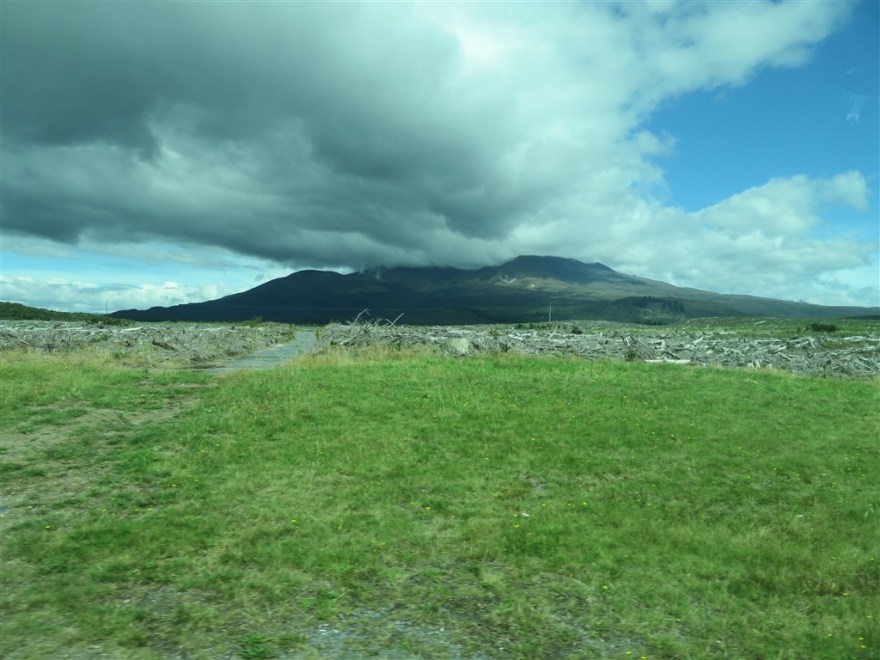
We arrived in Tongarrio National Park (www.doc.govt.nz/parks-and-recreation/places-to-go/central-north-island/places/tongariro-national-park) late on 14th March and we got our first sight of the Tongarrio Volcano that we were due to climb the following day.
Tongarrio is the oldest national park in New Zealand (and 4th oldest in the world). It opened in 1887. It was gifted by the country’s indigenous people. It is also a World Heritage site.
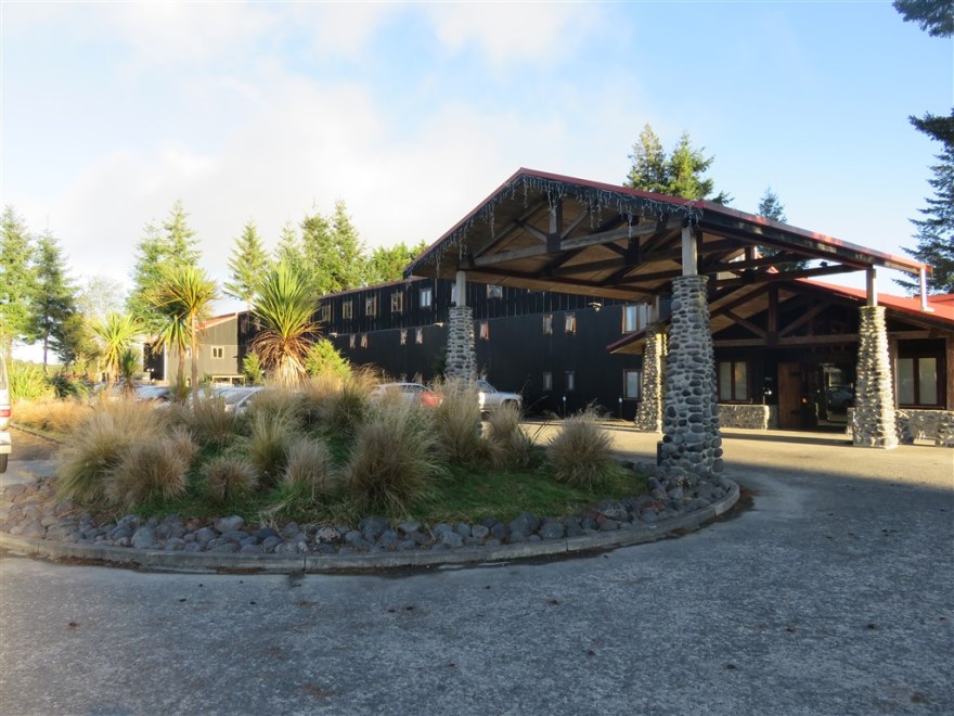
We checked into The Park Hotel Ruapehu, a lodge in the national park.
The following morning we set off on our accent. The normal route for the Tongarrio Alpine Crossing is to climb up the west side, cross the plateau at the top and then descend via the north side. However, there were 85Kph winds and low cloud forecast for the west side on the day we climbed so we opted to go up and down the north side which is more sheltered. We started the climb through the forest at the base of the volcano and got our first views when we emerged above the tree line.
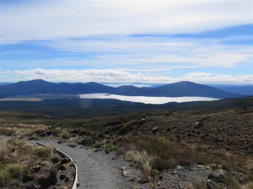
At this point we were only about a third of the way up. The climb was made easier by the great paths that have been laid nearly all the way up.
We stopped for lunch at the Ketetahi Hut.

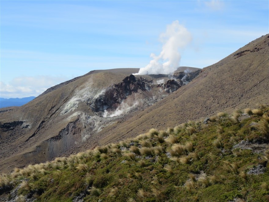
We still had 4Km to go to the top. On the way up we passed the Ketetahi Springs.
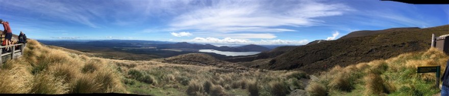
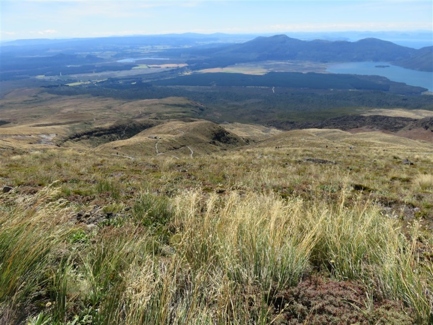
At this point you get your final view of the lakes below as you enter the lava covered valley to the top.
We finally made it to the Blue Lake after about three and a half hours of hiking.

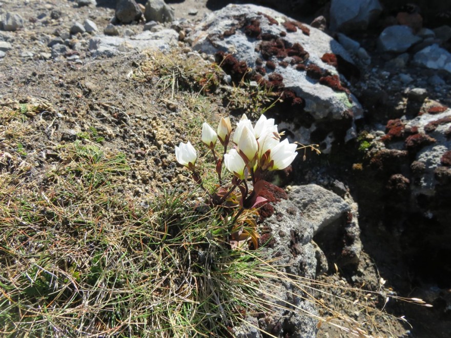
The terrain around the lake is pretty baron.
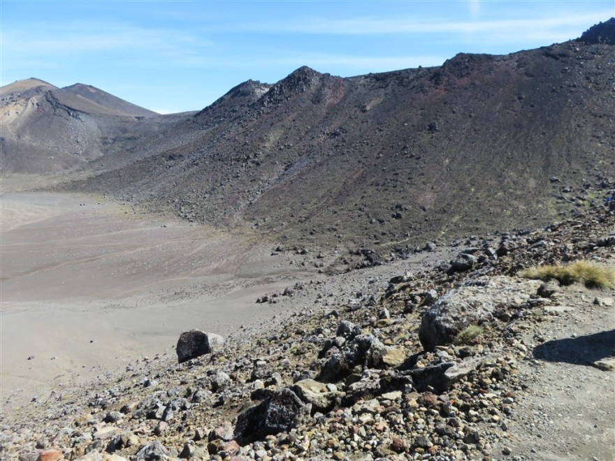
With some exceptions.
We then set off back down re tracing our previous route. Starting with the twisting path around the side of the volcano back down to the hut.
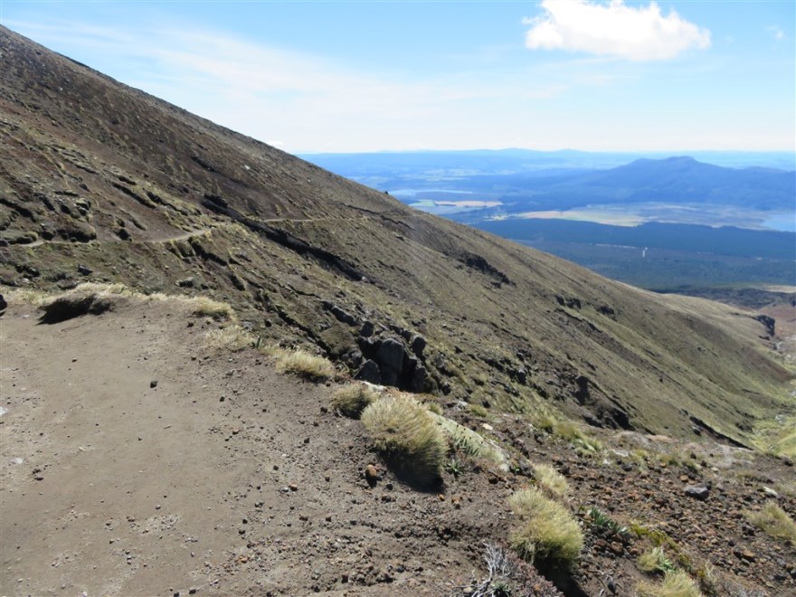
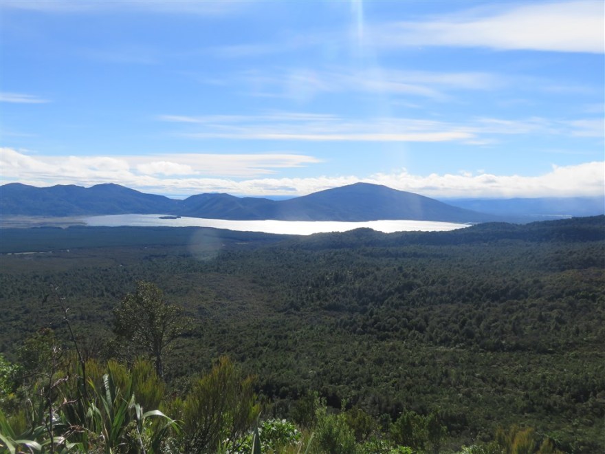
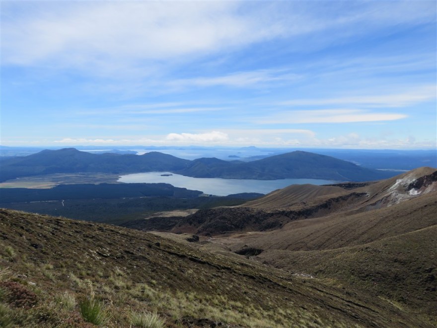
This is probably the best view you get about half way down from the top to the Ketetahi Hut.

We had another break at the hut and then set off back over the tussock grass to the tree line of the forest.
It took about 2 hours to descend. We had walked about 20Km (12.5 miles) and climbed/descended 1,100m (3,600 feet). This is the highest I have ever climbed (and a decent hike too.)