I flew into Easter Island on a rather cloudy afternoon and, on first sight, it didn’t look much. It is only 15 miles by 7 miles at the widest points.

Our rather large plane only just fitted into the very small airport.

I checked into Hotel Chez Maria Goretti on the outskirts of Hanga Roa – the only town on the island. It was very pleasant but, like everything else on the island, very expensive. Probably not too unexpected given the remoteness of the island – 3,500 Km from Chile. That is 300 Km further away than Hawaii is from the USA.


Like many of the small islands in the pacific that I have visited, chickens roam about freely. The good news about these ones was that they sleep in – the cockerels don’t start crowing until about 7am.

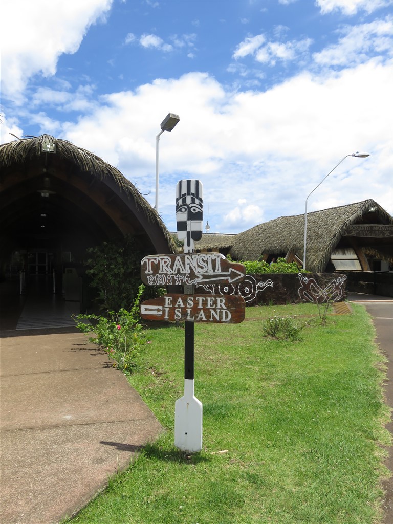
I walked into Hanga Roa to arrange my transport around the island. As expected, it was very small with a the majority of shops dedicated to tourist services..


With the furthest point on the island only 21 miles from Hanga Roa, I initially considered hiring a bike to get around. However, having asked around prior to my arrival, I had been told that you needed about 4 days to see everything by bike and I only had 2 days.
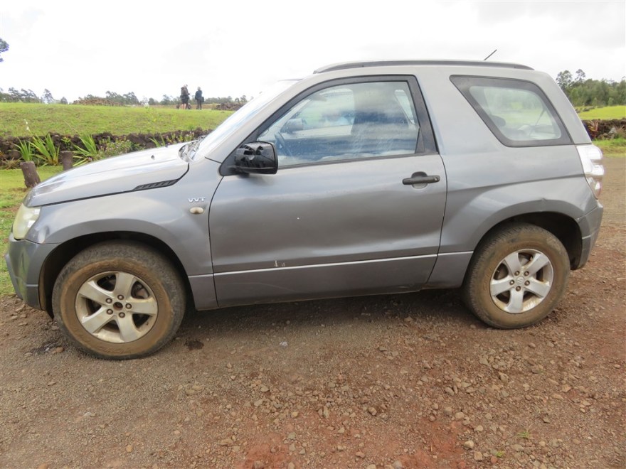
Hiring a car on the island is interesting as none of the big car hire companies are present and it is not possible to get insurance on hired vehicles. Not wanting to take unlimited liability for an expensive new vehicle, I opted for a “used” model.
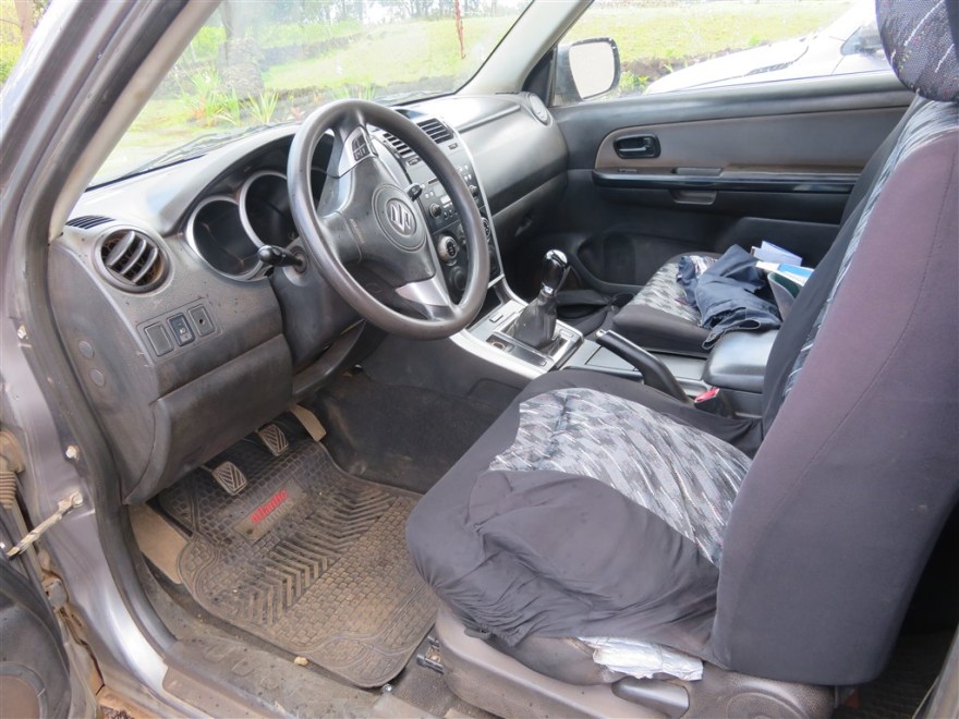
I never quite worked out what had happened to the seat.
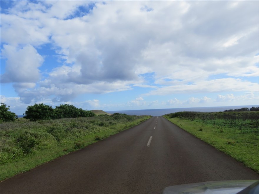
My plan was to hire the car for one day to get to all of the more remote sites and then walk to the ones closer to Hanga Roa on the second day. There no problems with traffic on the island.
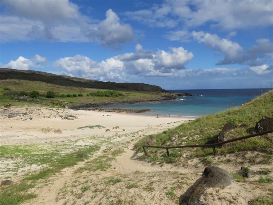
Anakena, on the north east point of the island was my first stop. It is a pretty coral beach and supposedly the landing point of the first Polynesians (known as Rapa Nui) in about AD 700.
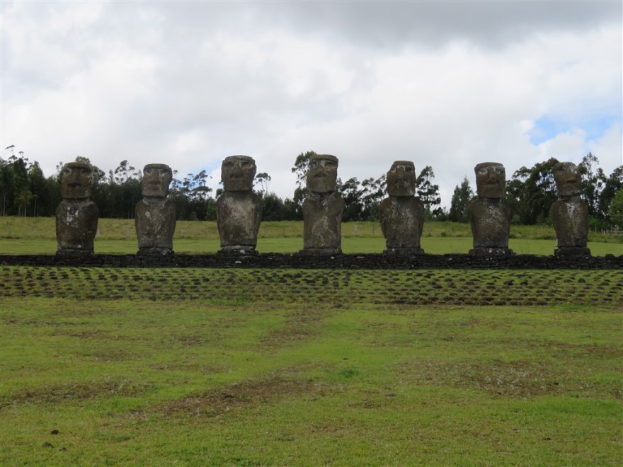
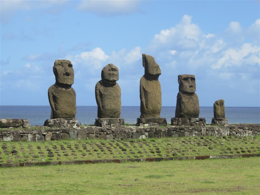
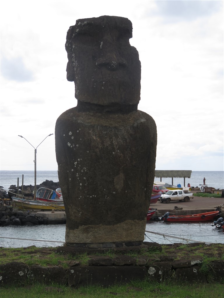
There are 2 sets of statues (or Moai in the original Rapa Nui language) – this set of 7 standing on a single Ahu (platform). It is thought that these sites were ceremonial sites and the Moai were created in memory of important individuals.

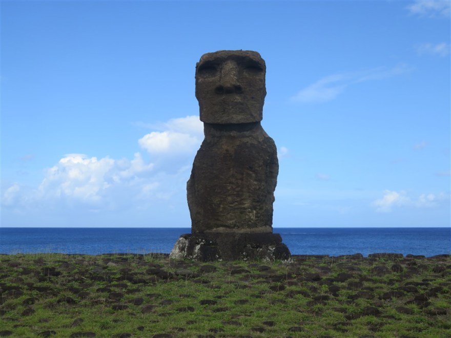
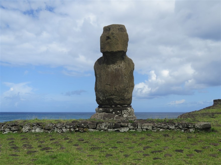
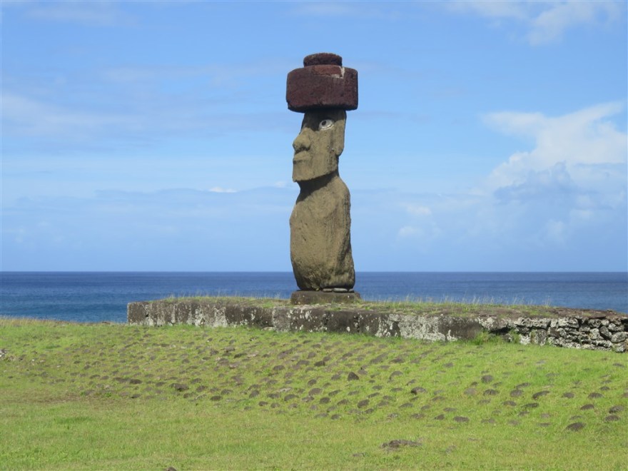
And this single Moai on its own Ahu.

There are also some empty Ahus at the site.

You are allowed to swim off the beach but it was a bit cold for me.
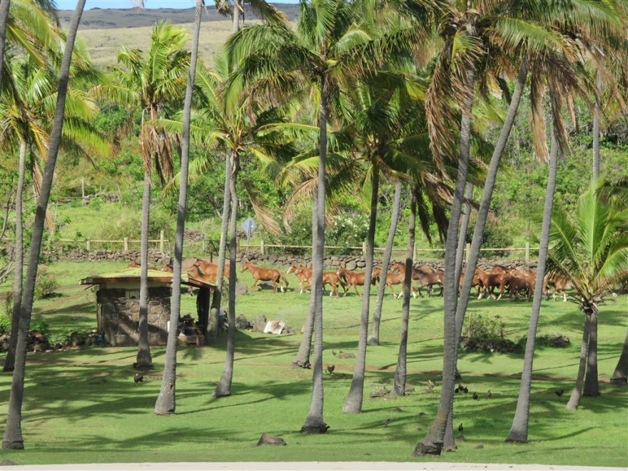
The whole of the island outside Hanga Roa has been designated a national state park (www.parquenacionalrapanui.cl). Some farming is allowed and I saw this team of horses being driven through Anakena.
Further south along the coast is the site called Te Pito Kura. This is the location of the largest of the 900 Moai catalogued on the island. It is over 10m high and weighs about 80 tons.
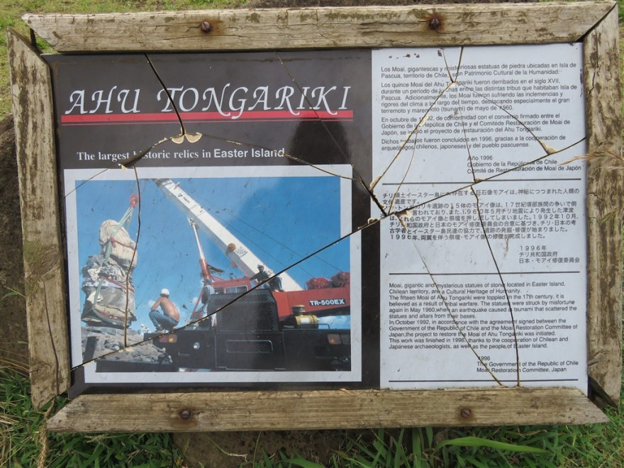
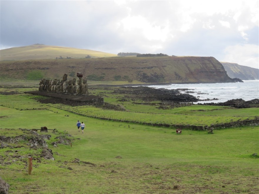
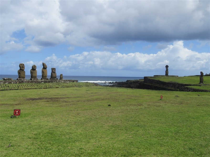
Driving down to the west end of the southern coast, I came to Tongariki. Here there are a group of 15 Moai on a single Ahu.

Although they aren’t the tallest, the picture below shows you how big they are compared to the tourists looking at them.
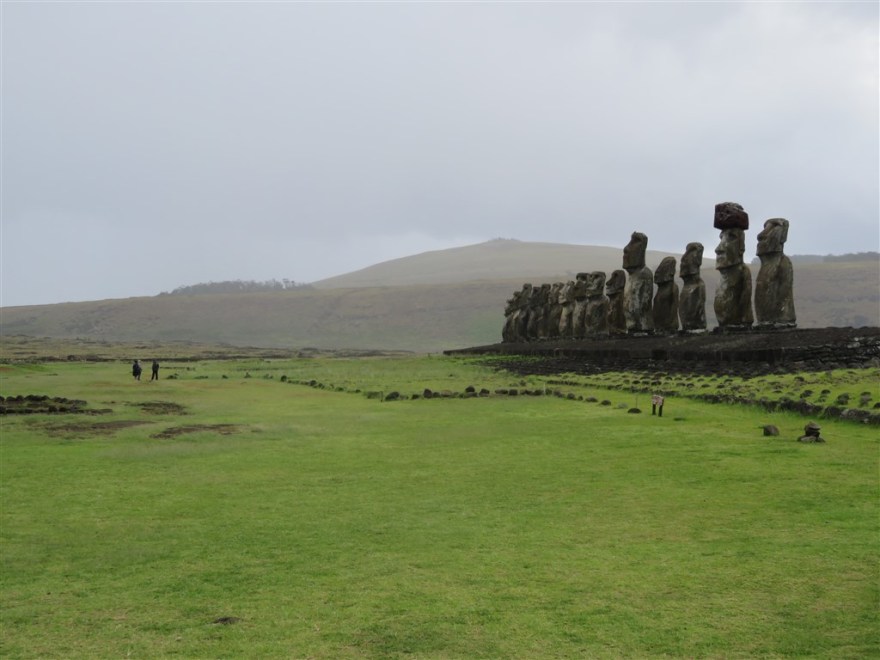
We are familiar with pictures of the Moai standing on their Ahu. However, this is a fairly recent thing. From about 1540 onwards internal wars and changes in religious beliefs led to statue toppling. By 1838, the only ones left standing were those on the slopes of Ranu Raraku. The 15 Moai at Tongariki were toppled in the 17th century. The island was annexed by Chile in 1888 and all the land outside Hanga Roa was rented out to the Williamson-Balfour Company – a Scottish and Chilean owned company – for sheep farming up until 1953. It was then managed by the Chilean Navy until 1966 when the land was reopened. The first Moai to be raised back into place were the 7 at Anakena in 1955. The 15 at Tongariki weren’t raised until 1996.
There are also a couple of individual Moai at this site and a third that hasn’t been raised.


There is a theory that these ceremonial sites were also built to control access to the sea.
Moving east along the coast and inland to the base of Rano Raraku volcano. The volcano had ceased being active long before the Polynesians arrived and the crater now a lake.

It was on the slopes of the volcano that the Moai were carved from the volcanic rock. An unfinished Moai is still visible.

There are many Moai scattered around the slopes of the volcano in various stages of completion.


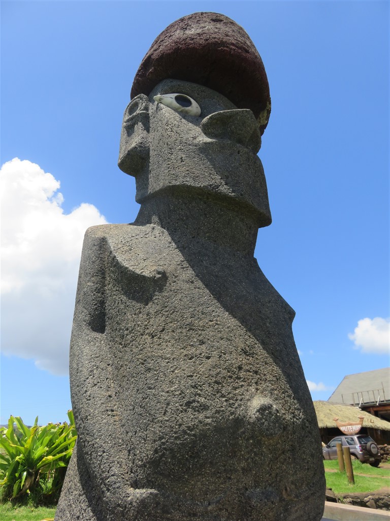
None of the Moai on the slopes have their eyes carved out or have their Pukao – hat like structures or topknots – placed on top. This was only done when they were installed at the ceremonial sites.


The only kneeling Moai can be found here as well.

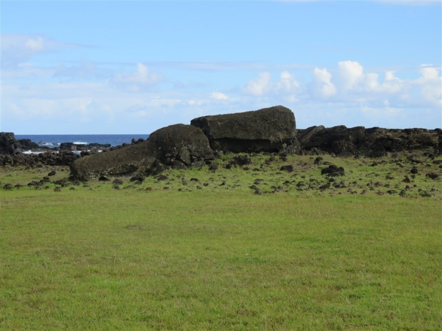
I continued driving east along the southern coast and visited the ceremonial sites of Akahanga and Hanga Te’e which just had Ahus.
I finished my first day by visiting the Ahu Akivi site which is inland about 10km north east of Hanga Roa. These are the only Moai facing the sea.
In the evening I went down to the port for a meal.

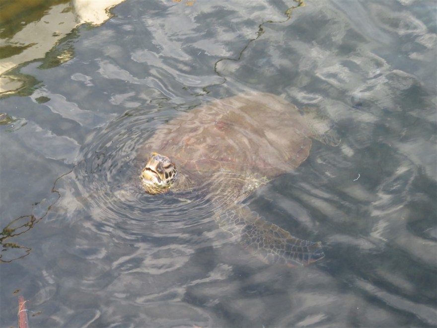
I saw a turtle swimming amongst the fishing boats.
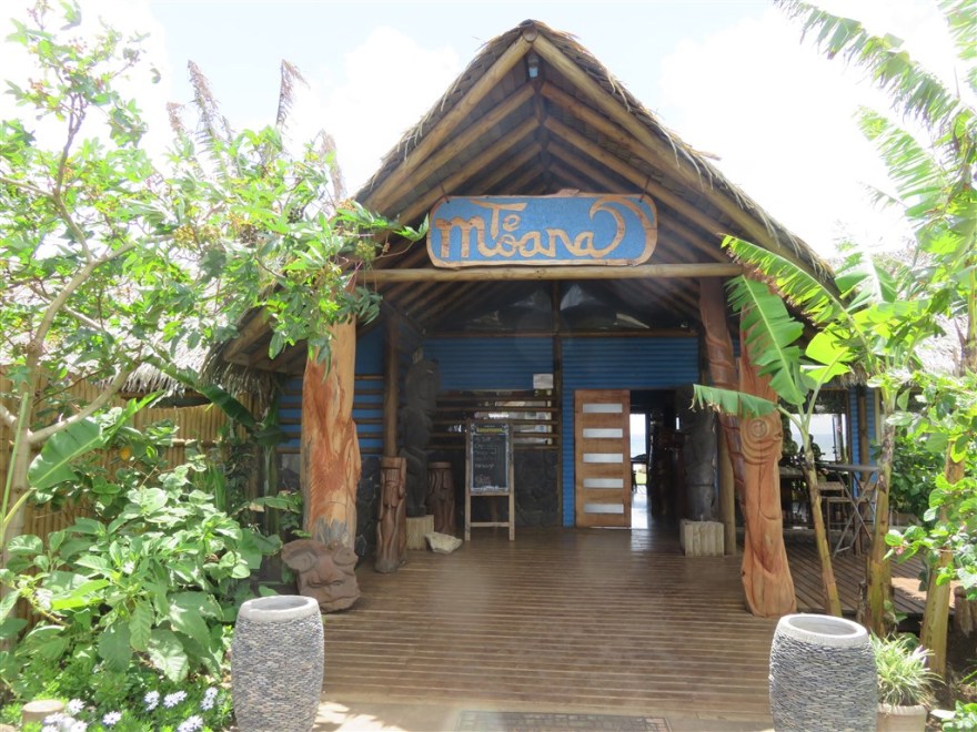
I ate at one of the better restaurants on the Island – Te Moana. It is on the coast, just along from the port.
After dinner I walked along the coast.
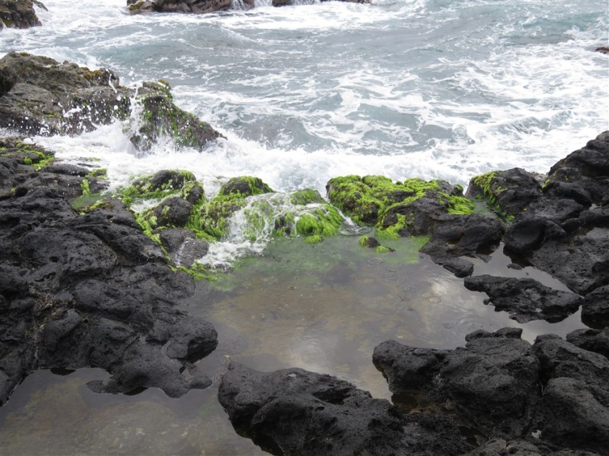
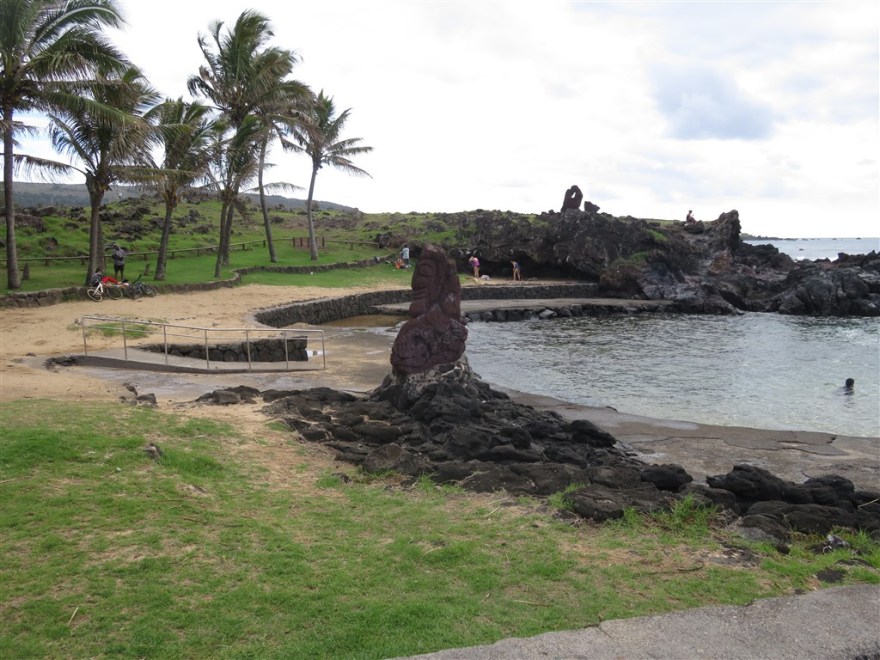
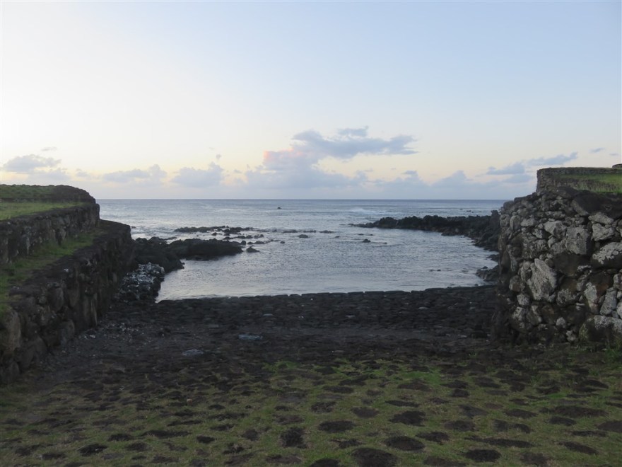
A swimming pool has been created in one of the coves.
I had to return to the hotel after sunset as there is no street lighting.
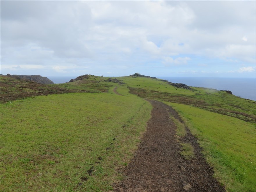
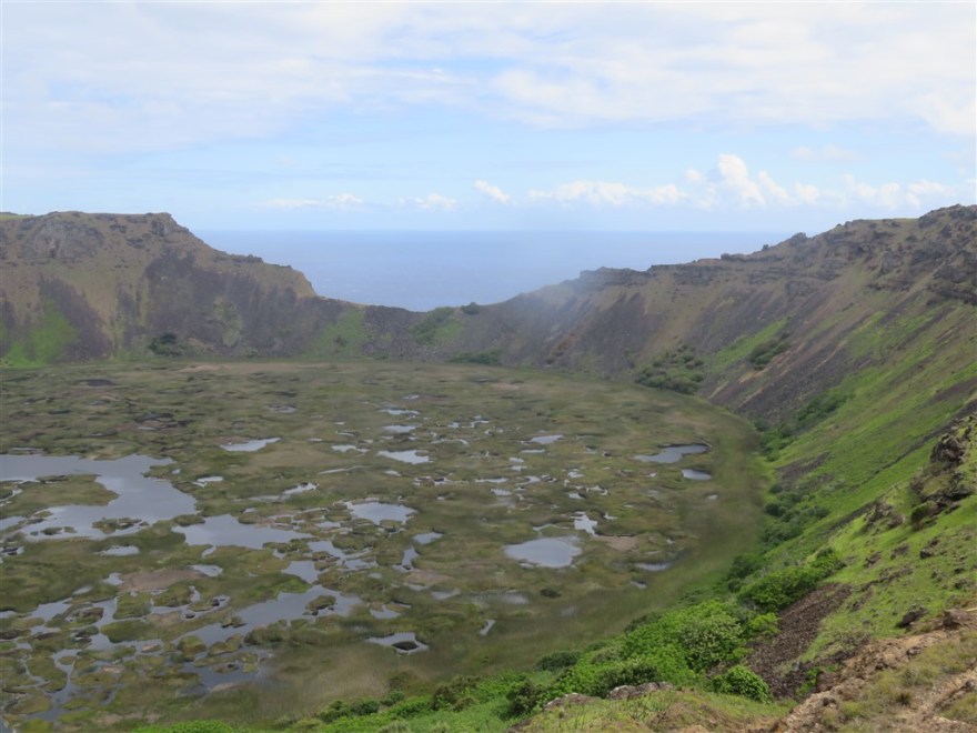
The following day I set off for the Orongo ceremonial site which is located on a narrow ridge between the edge of the Rano Kau volcano crater and the Pacific Ocean.
The volcano crater is so deep that it has evolved its own eco system in its crater.
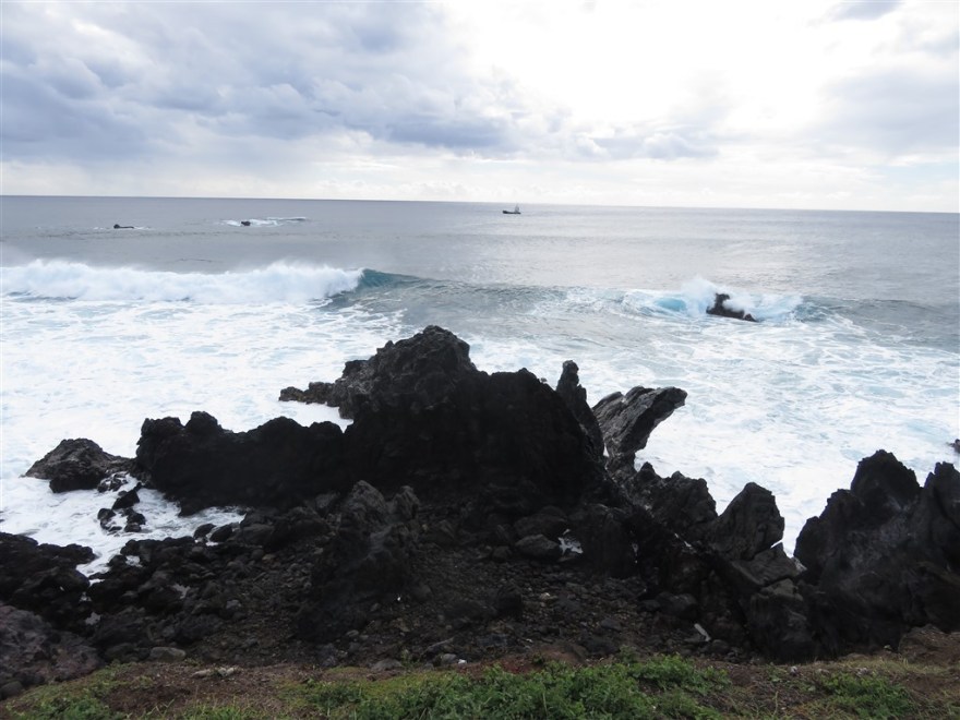
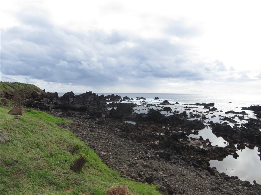
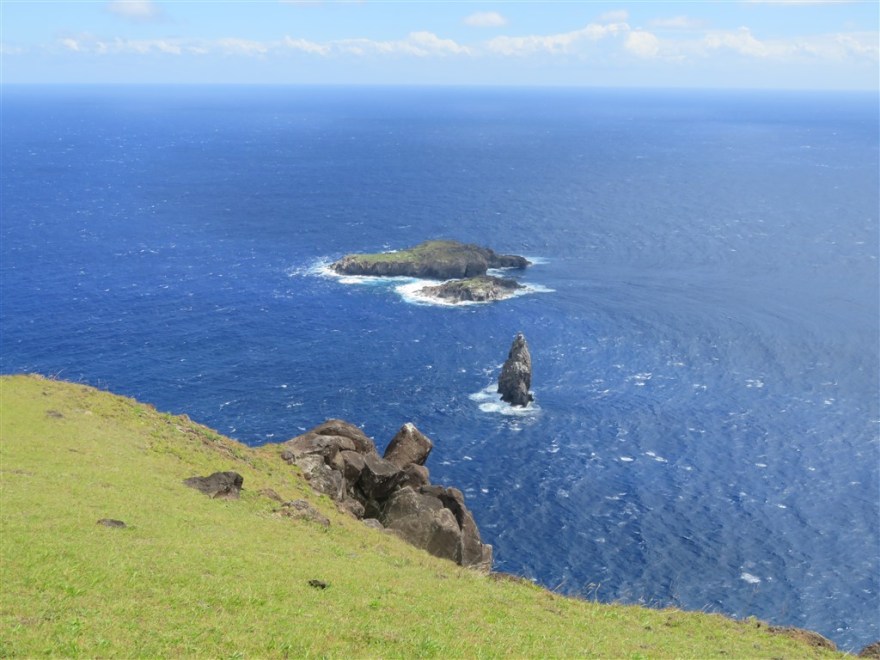
You get to the site via a cliff top path beside the Pacific Ocean.
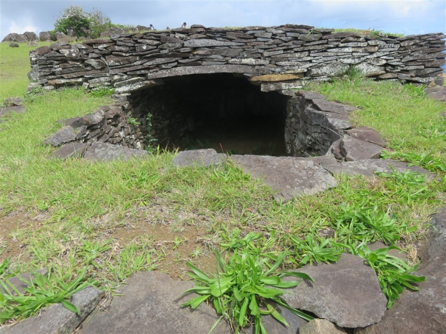
There are no Moai up here, just the old houses that were used for sleeping and meetings during ceremonies. The were not occupied permanently. The site was probably the first ever conference centre.

On the way back down you could see Hanga Roa, with the airport in the fore ground, below (although it was rather cloudy).

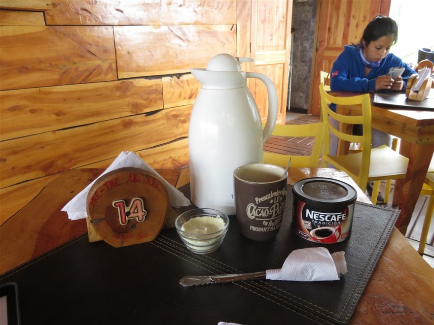
On my way back through Hanga Roa, I stopped for a coffee break but their coffee wasn’t quite up to Munsons (my local coffee shop in Ealing).
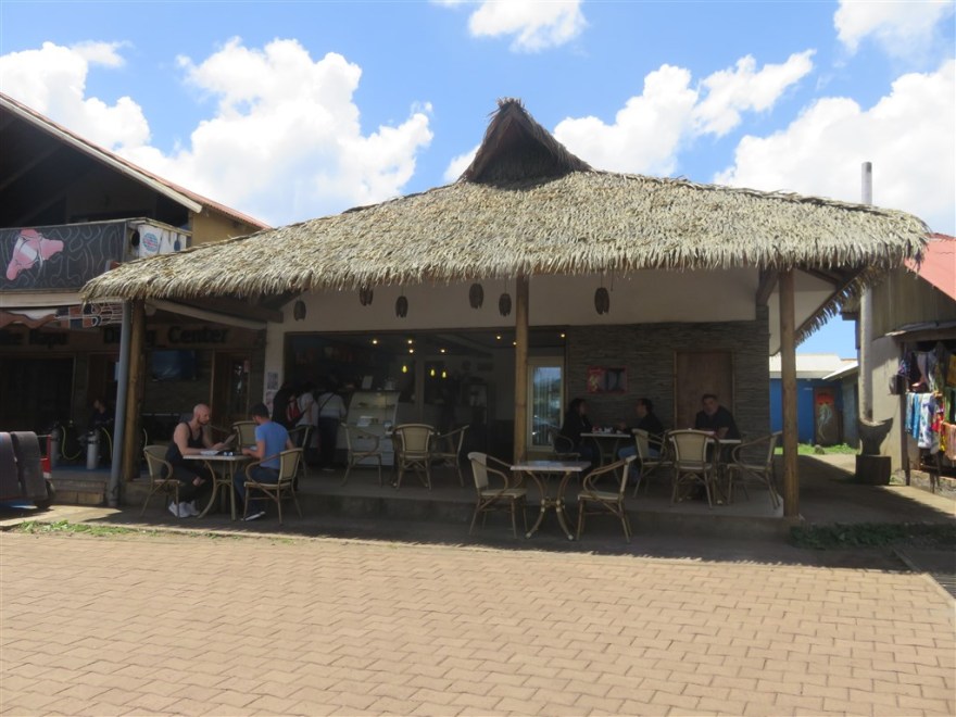
Later, I did find a proper coffee shop in the port called Mikafe.
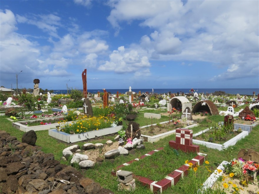
Continuing through the town, I passed the cemetery.
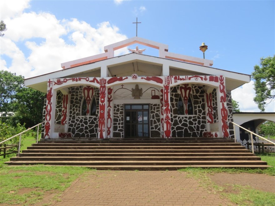
The Catholic church at the top of the town is just as colourful.
There are two main sites just north of the town on the east coast. The furthest north is Hanga Kio’e. This was a village with two Ahu, only one of which has been restored.
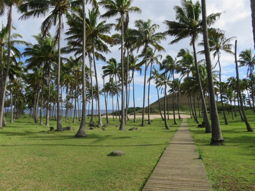
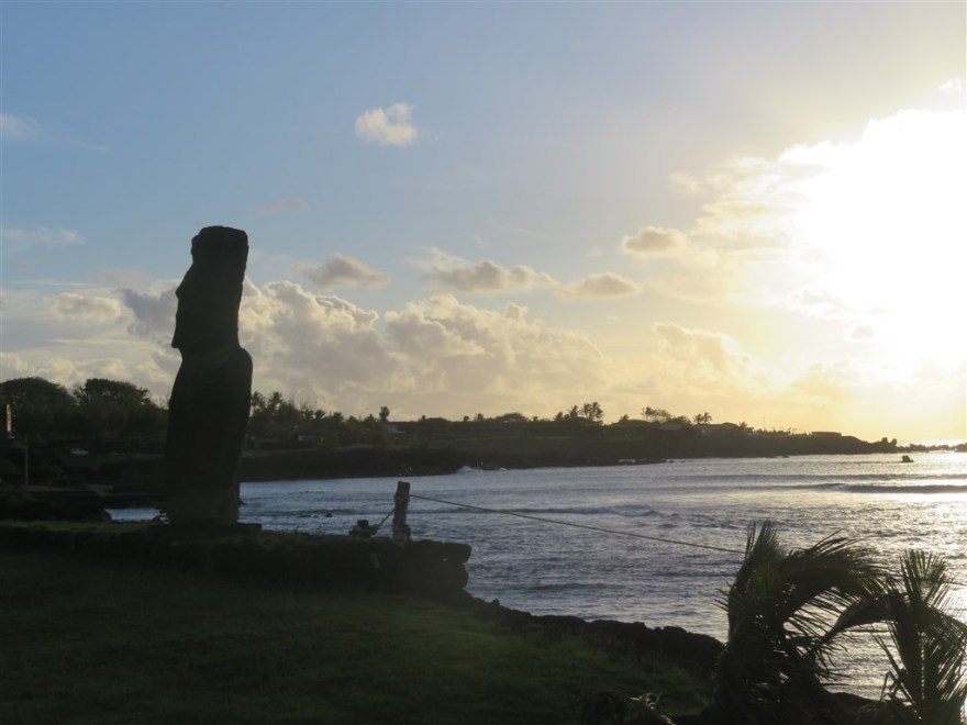
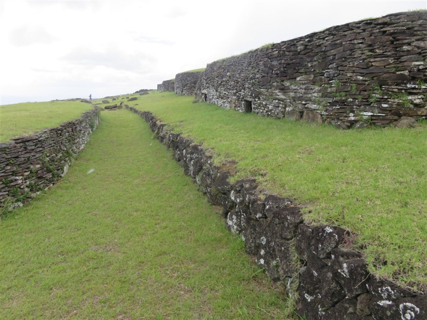
Tahai is the site closest to the town. It has 3 Ahu.
The site is important because it shows how the areas around the Ahu were landscaped. In this case, thousands of tons of sand and rocks were moved to create a large meeting space in front of the Ahu.
The site also has a canoe berth which again illustrates how the religious centres allowed controlling access to the sea to the ruling classes, creating an almost continuous sacred coast line around the island.
The site is popular at the end of they day with everyone waiting for the sunset.

There are a few other Moai located along the coast in the town.
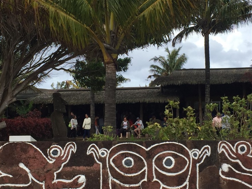
Along with some other rock carvings.

Also some made much more recently.

The population of the island has varied a lot over time. The population peaked in the seventeenth century at about 15,000. A century later it had dropped to about 2,500 due to over population, deforestation and internal wars. Although the first European to visit the island was a Dutch sailor in 1722, the first permanent European residents (Christian missionaries) didn’t arrive until the mid nineteenth century. Their arrival, which brought new diseases, along with Peruvian slave traders brought the island’s population down to an all time low of 111 residents in 1877 – of which only 36 were of original Rapa Nui Polynesian descent. Today the population is about 6,600, of which about 60% trace their roots back to the original Rapa Nui natives. The next largest demographic group are mainland Chileans.
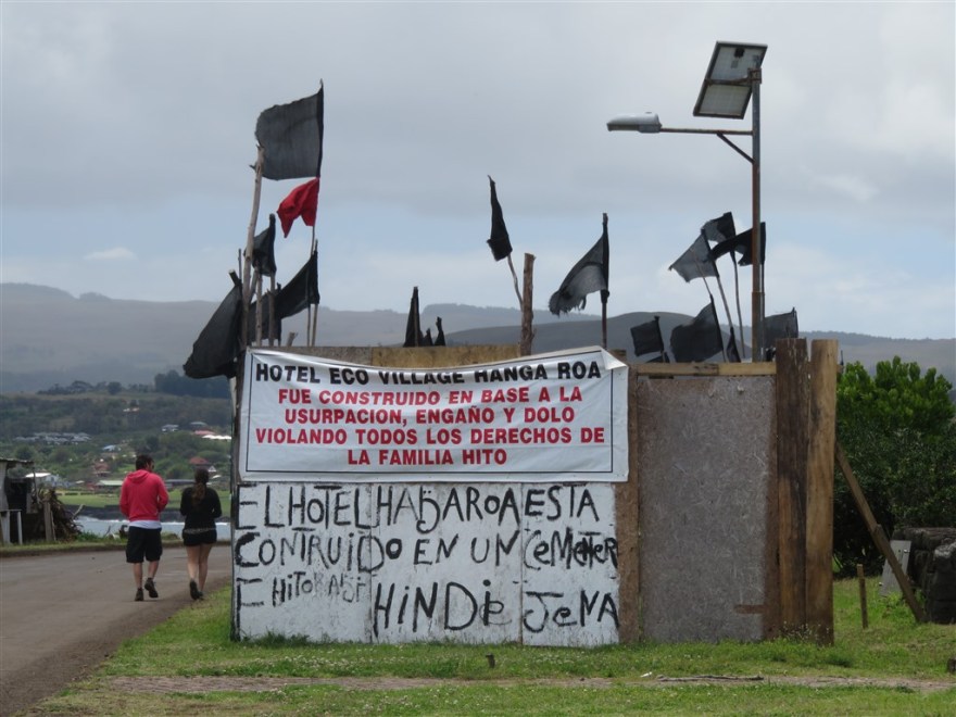
Unfortunately there are still ongoing disputes between the original natives and the Chileans with claims of land being taken from the natives illegally. The biggest ongoing dispute is over the ownership of the Hanga Roa Eco Lodge and Spa hotel.


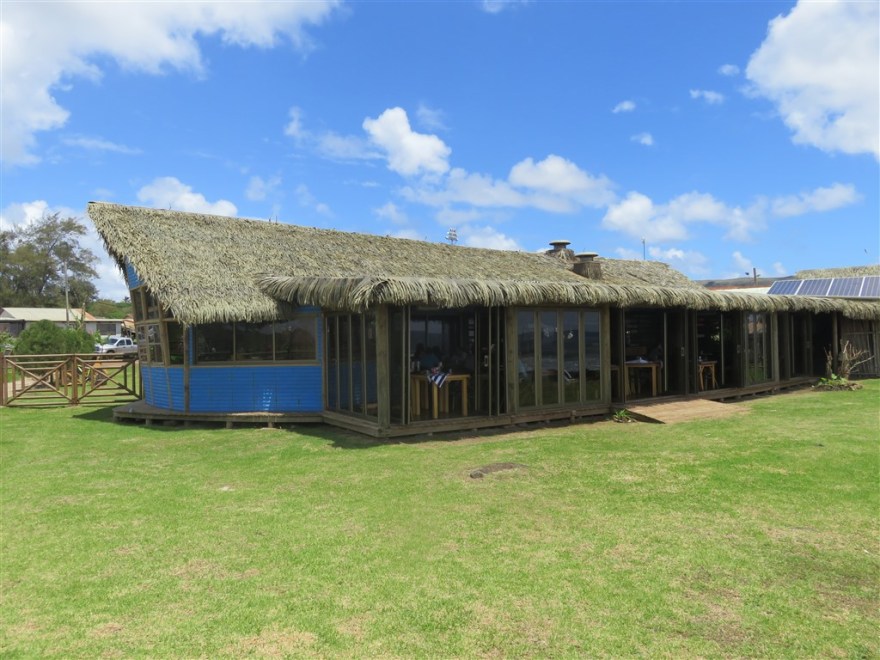
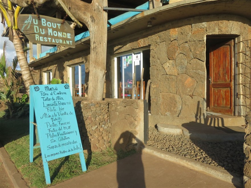
I finished my visit with a meal at Au Bout Du Monde (www.imaginaisladepascua.com/../au-bout-du-monde), a French-Belgian restaurant just across the road from Te Moana.
On my flight back to Santiago, I had the pleasant experience of an outside departures lounge.

Henry- these pictures are wonderful. It looks like such a fascinating and intriguing place!! I am enjoying your further travels very much, though I admit to some ongoing jealousy too 😀 Keep the pics coming!!
LikeLike